Falinge Park, Rochdale
Map

Map

Facts and practical information
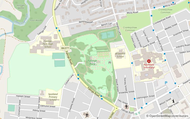
Falinge Park is a Grade II listed public park located in Rochdale, Greater Manchester. Opened to the public in 1906, it lies in the historic grounds of the 18th century Falinge Hall. ()
Elevation: 538 ft a.s.l.Coordinates: 53°37'26"N, 2°9'54"W
Address
Rochdale
ContactAdd
Social media
Add
Day trips
Falinge Park – popular in the area (distance from the attraction)
Nearby attractions include: Spotland Stadium, Rochdale Town Hall, Rochdale Pioneers Museum, Rochdale Cenotaph.
Frequently Asked Questions (FAQ)
Which popular attractions are close to Falinge Park?
Nearby attractions include Church of Saint Edmund, Rochdale (6 min walk), Shawclough, Rochdale (9 min walk), Rochdale Pioneers Museum, Rochdale (12 min walk), Spotland, Rochdale (12 min walk).
How to get to Falinge Park by public transport?
The nearest stations to Falinge Park:
Tram
Bus
Train
Tram
- Rochdale Town Centre • Lines: EDid, Roch (16 min walk)
Bus
- Rochdale Interchange (17 min walk)
- Rochdale Bus Station • Lines: 17, 181, 182, 24, 431, 433, 434, 435, 438, 446, 454, 455, 456, 457, 458, 468, 469, 471, 58, 6, 719, R4, R5 (17 min walk)
Train
- Rochdale (27 min walk)


