Diamond Jubilee Walk, Bexhill

Gallery (1)
Map
Map
Facts and practical information
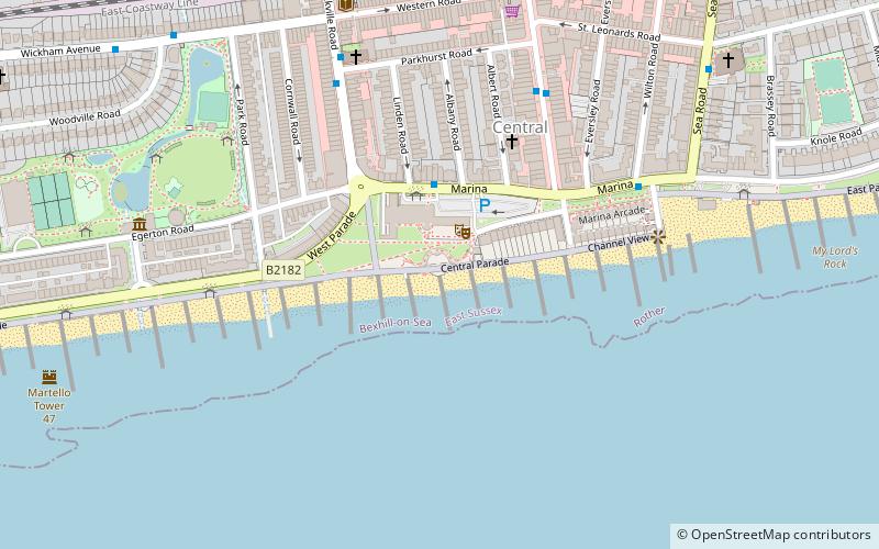
Diamond Jubilee Walk is a place located in Bexhill (England kingdom) and belongs to the category of square.
It is situated at an altitude of 20 feet, and its geographical coordinates are 50°50'12"N latitude and 0°28'19"E longitude.
Planning a visit to this place, one can easily and conveniently get there by public transportation. Diamond Jubilee Walk is a short distance from the following public transport stations: The Harp (bus, 5 min walk), Bexhill (train, 9 min walk).
Among other places and attractions worth visiting in the area are: Bandstand (concerts and shows, 1 min walk), De La Warr Pavilion (museum, 2 min walk), Bexhill Rotary Club Coin Collector (monuments and statues, 3 min walk).
Coordinates: 50°50'12"N, 0°28'19"E
Address
Bexhill
ContactAdd
Social media
Add
Getting there by public transportation
Public transportation stops near this location
- Bus
- Train
 Bus
Bus
- Calculate routeThe Harp 5 min walk
- Calculate routeBexhill 9 min walk
- Calculate routeCollington 17 min walk
Day trips


Frequently Asked Questions (FAQ)
Which popular attractions are close to Diamond Jubilee Walk?
Nearby attractions include Bandstand, Bexhill (1 min walk), De La Warr Pavilion, Bexhill (2 min walk), Bexhill Rotary Club Coin Collector, Bexhill (3 min walk), Roll of Honour of Civilian War Dead, Bexhill (3 min walk).
How to get to Diamond Jubilee Walk by public transport?
The nearest stations to Diamond Jubilee Walk:
Bus
Train
Bus
- The Harp • Lines: 11, 12, 13, 14 (5 min walk)
Train
- Bexhill (9 min walk)
- Collington (17 min walk)