Clark Street Congregational Church, Morecambe
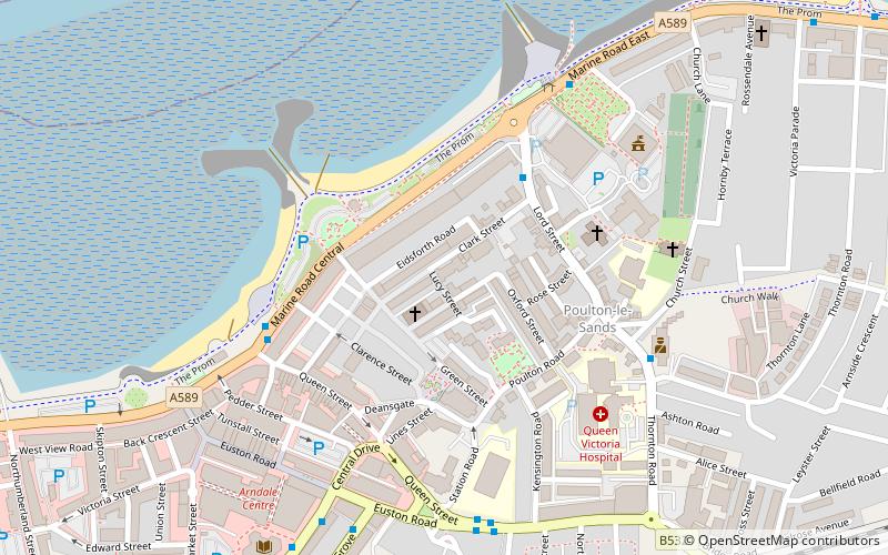
Map

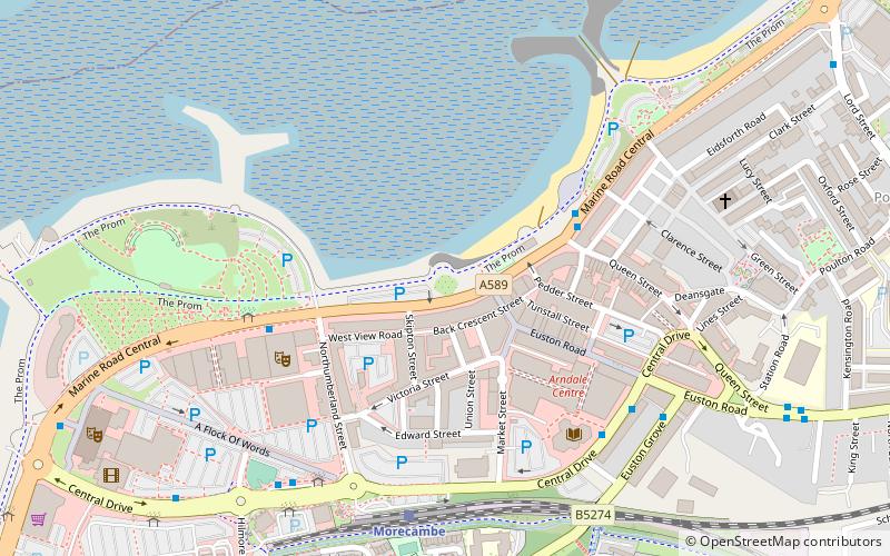
Map

Facts and practical information
Clark Street Congregational Church, in Morecambe, Lancashire, England, was built in 1863 and designed by the Lancaster architect E. G. Paley. It provided seating for 350 people. The chapel has a northwest tower, a southwest porch, and windows containing plate tracery. The church closed before 1980, and has been converted into offices. ()
Capacity: 350Coordinates: 54°4'27"N, 2°51'43"W
Address
Morecambe
ContactAdd
Social media
Add
Day trips
Clark Street Congregational Church – popular in the area (distance from the attraction)
Nearby attractions include: Globe Arena, Eric Morecambe Statue, Morecambe Town Hall, Morecambe Winter Gardens.
Frequently Asked Questions (FAQ)
Which popular attractions are close to Clark Street Congregational Church?
Nearby attractions include Holy Trinity Church, Morecambe (5 min walk), Morecambe Town Hall, Morecambe (5 min walk), Eric Morecambe Statue, Morecambe (7 min walk), St Laurence's Church, Morecambe (9 min walk).
How to get to Clark Street Congregational Church by public transport?
The nearest stations to Clark Street Congregational Church:
Bus
Train
Bus
- Lord Street • Lines: 5, 6, 6A, 755 (3 min walk)
- Clock Tower • Lines: 100, 33, 550, 6, 6A (4 min walk)
Train
- Morecambe (10 min walk)
- Bare Lane (28 min walk)


