Orange Way, Brixham

Map
Facts and practical information
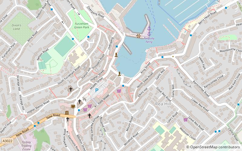
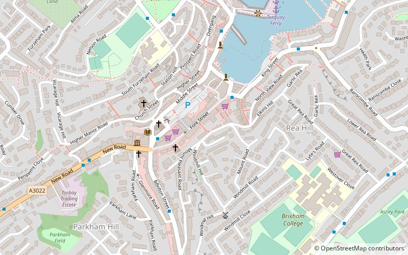
The Orange Way, so called because it follows the march in 1688 of Prince William of Orange and his army from Brixham to London, is a 350 miles unofficial long-distance walk in England that passes through Devon, Dorset, Wiltshire, Berkshire, Buckinghamshire and London. ()
Coordinates: 50°23'46"N, 3°30'45"W
Address
Brixham
ContactAdd
Social media
Add
Day trips
Orange Way – popular in the area (distance from the attraction)
Nearby attractions include: Berry Head, Man and Boy, Churston Woods, Shoalstone Pool.
Frequently Asked Questions (FAQ)
Which popular attractions are close to Orange Way?
Nearby attractions include The Golden Hind, Brixham (1 min walk), Windmill Hill Cavern, Brixham (3 min walk), Man and Boy, Brixham (3 min walk), The Nicky Stevenson Gallery, Brixham (4 min walk).
How to get to Orange Way by public transport?
The nearest stations to Orange Way:
Ferry
Ferry
- Torquay Ferry (5 min walk)


