Colwick, Nottingham
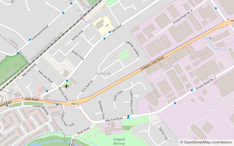
Map
Facts and practical information
Colwick is a village, civil parish, and suburb of the city of Nottingham, in the English ceremonial county of Nottinghamshire. It is situated to the east of Nottingham's city boundary, and forms the Colwick ward within the local government district of Gedling. At the time of the 2011 census, the village had a population of 2,829. ()
Address
Nottingham
ContactAdd
Social media
Add
Getting there by public transportation
Public transportation stops near this location
- Bus
- Train
 Bus
Bus
- Calculate routeSt John School 4 min walk
- Calculate routeManor Farm 4 min walk
- Calculate routeNew Vale Road 5 min walk
- Calculate routeNetherfield 13 min walk
- Calculate routeCarlton 19 min walk
Day trips


Frequently Asked Questions (FAQ)
Which popular attractions are close to Colwick?
Nearby attractions include St Paul's Church, Nottingham (18 min walk), Colwick Country Park, Nottingham (18 min walk), Friends Of Colwick Woods, Nottingham (21 min walk), Dales United Reformed Church, Nottingham (23 min walk).
How to get to Colwick by public transport?
The nearest stations to Colwick:
Bus
Train
Bus
- St John School • Lines: 44, S10 (4 min walk)
- Manor Farm • Lines: 50 (4 min walk)
Train
- Netherfield (13 min walk)
- Carlton (19 min walk)