Widcombe, Bath
Map
Map

Facts and practical information
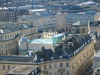
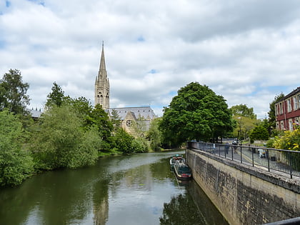
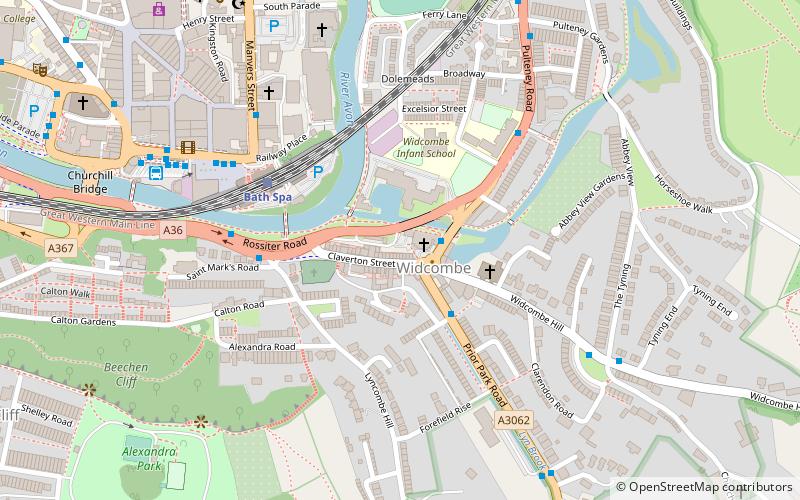
Widcombe is a district of Bath, England, immediately south-east of the city centre, across the River Avon. ()
Coordinates: 51°22'36"N, 2°21'14"W
Day trips
Widcombe – popular in the area (distance from the attraction)
Nearby attractions include: Roman Baths, Bath Abbey, Victoria Art Gallery, SouthGate.
Frequently Asked Questions (FAQ)
Which popular attractions are close to Widcombe?
Nearby attractions include St Matthew's Church, Bath (3 min walk), Bath Locks, Bath (3 min walk), Widcombe Crescent, Bath (6 min walk), St John's Church, Bath (6 min walk).
How to get to Widcombe by public transport?
The nearest stations to Widcombe:
Train
Bus
Train
- Bath Spa (4 min walk)
- Oldfield Park (30 min walk)
Bus
- Dorchester St Bh • Lines: 418 (5 min walk)
- Manvers St Be • Lines: 18 (5 min walk)


