Woolton, Liverpool
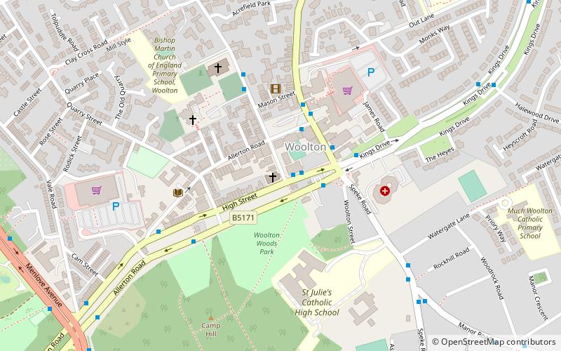
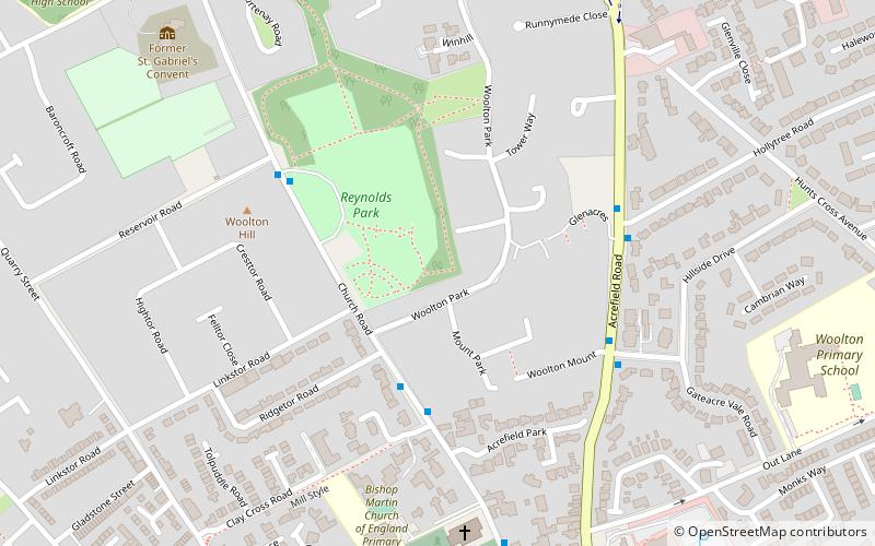
Map
Facts and practical information
Woolton is a Liverpool City Council Ward within the Garston and Halewood Parliamentary constituency. In 2004 the boundary changed to incorporate a small part of Allerton ward and lost a small area to the new Allerton and Hunts Cross ward. ()
Coordinates: 53°22'26"N, 2°52'3"W
Getting there by public transportation
Public transportation stops near this location
- Bus
- Train
 Bus
Bus
- Calculate routeHunts Cross 27 min walk
- Calculate routeLiverpool South Parkway 37 min walk
- Calculate routeLiverpool South Parkway 37 min walk
Day trips


Frequently Asked Questions (FAQ)
Which popular attractions are close to Woolton?
Nearby attractions include Woolton, Liverpool (2 min walk), St Mary's Church, Liverpool (4 min walk), St Peter's Church, Liverpool (5 min walk), Woolton Woods and Camp Hill, Liverpool (7 min walk).
How to get to Woolton by public transport?
The nearest stations to Woolton:
Train
Bus
Train
- Hunts Cross (27 min walk)
- Liverpool South Parkway (37 min walk)
Bus
- Liverpool South Parkway (37 min walk)