D'Oyly Carte Island, Weybridge
Map

Gallery

Facts and practical information
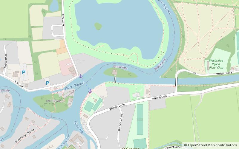
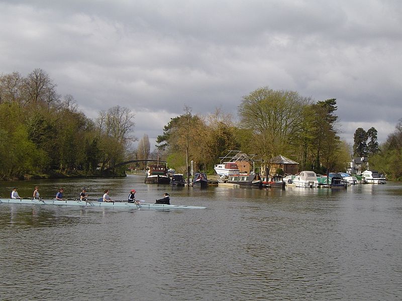
D'Oyly Carte Island is a small private island in the River Thames, England, administratively and historically part of Weybridge, near its other inhabited islands and near part of Old Shepperton, on the reach above Sunbury Lock, 200 metres downstream from Shepperton Lock. Before 1890 the island was known as Folly Eyot. The impresario Richard D'Oyly Carte bought the island in about 1890 and built the 13-bedroom Eyot House on the property. His widow sold the island, and it was last sold in 2021. ()
Coordinates: 51°22'58"N, 0°27'15"W
Address
Weybridge
ContactAdd
Social media
Add
Day trips
D'Oyly Carte Island – popular in the area (distance from the attraction)
Nearby attractions include: Weybridge United Reformed Church, Chertsey Meads, Walton Bridge, Desborough Island.
Frequently Asked Questions (FAQ)
Which popular attractions are close to D'Oyly Carte Island?
Nearby attractions include Shepperton Lock, Shepperton (6 min walk), Hamhaugh Island, Weybridge (10 min walk), Desborough Island, Weybridge (12 min walk), Pharaoh's Island, Weybridge (13 min walk).
How to get to D'Oyly Carte Island by public transport?
The nearest stations to D'Oyly Carte Island:
Bus
Train
Bus
- Church Square • Lines: 557 (9 min walk)
- St Nicholas Drive • Lines: 557 (11 min walk)
Train
- Shepperton (27 min walk)


