Datchet Bridge, Slough
Map
Map

Facts and practical information
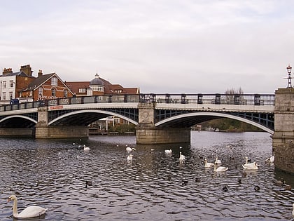
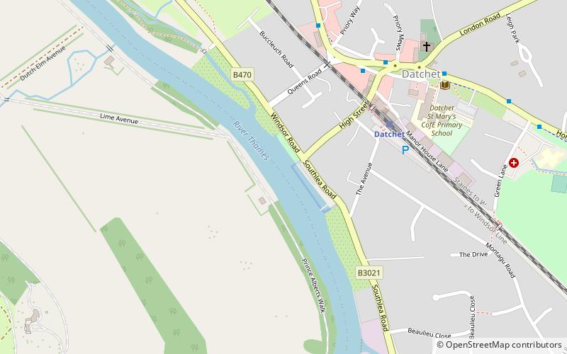
Datchet Bridge, also known as The Divided Bridge, was a road bridge which crossed the River Thames at Datchet from 1706 until it was demolished in 1848. It was situated on the reach between Old Windsor Lock and Romney Lock and linked Windsor on the Berkshire bank to Datchet on the Buckinghamshire side. The bridge replaced a ferry service which had operated at the site since at least the middle of the 13th century. ()
Coordinates: 51°28'55"N, 0°34'57"W
Address
Slough
ContactAdd
Social media
Add
Day trips
Datchet Bridge – popular in the area (distance from the attraction)
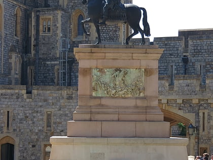
Nearby attractions include: Windsor Castle, St George's Chapel, St John the Baptist Church, Equestrian statue of Charles II.
Frequently Asked Questions (FAQ)
Which popular attractions are close to Datchet Bridge?
Nearby attractions include Datchet, Slough (9 min walk), Adelaide Cottage, Windsor and Eton (10 min walk), Victoria Bridge, Slough (15 min walk), Home Park, Slough (15 min walk).
How to get to Datchet Bridge by public transport?
The nearest stations to Datchet Bridge:
Train
Bus
Train
- Datchet (4 min walk)
- Windsor and Eton Riverside (27 min walk)
Bus
- Churchmead School • Lines: 10A (6 min walk)
- Eton Road • Lines: 10A (12 min walk)

