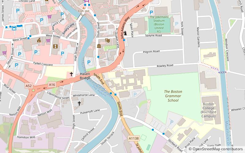
Macmillan Way, Boston
Map
Facts and practical information
The Macmillan Way is a long-distance footpath in England that links Boston, Lincolnshire to Abbotsbury in Dorset. The route's distance is 290 miles. It is promoted to raise money for the charity Macmillan Cancer Relief. ()
Length: 290 miSeason: All yearCoordinates: 52°58'29"N, 0°1'17"W
Address
Boston
ContactAdd
Social media
Add
Getting there by public transportation
Public transportation stops near this location
- Bus
- Train
 Bus
Bus
- Calculate routeBoston Bus Station 9 min walk
- Calculate routeBoston 13 min walk
Maps MBTA Subway
MBTA SubwayDay trips


Frequently Asked Questions (FAQ)
Which popular attractions are close to Macmillan Way?
Nearby attractions include Blackfriars Theatre and Arts Centre, Boston (3 min walk), Boston Guildhall, Boston (3 min walk), Gliderdrome, Boston (5 min walk), Boston Friary, Boston (6 min walk).
How to get to Macmillan Way by public transport?
The nearest stations to Macmillan Way:
Bus
Train
Bus
- Boston Bus Station (9 min walk)
Train
- Boston (13 min walk)