Dimlands
Map

Map

Facts and practical information
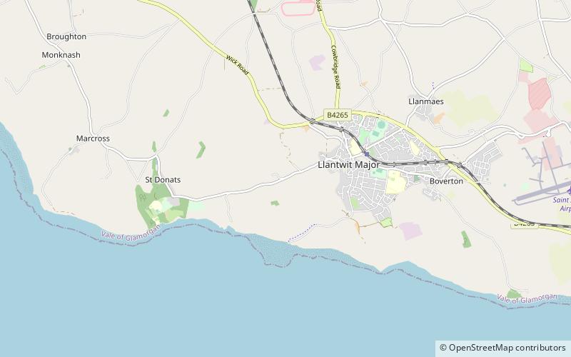
Dimlands was a small scale, gentry house on the north side of St Donats Road about 6 miles southwest of Cowbridge in the Vale of Glamorgan, southeast Wales. Built like a small Tudor castle, it is situated about 1 kilometre back from the clifftops of the Bristol Channel between Llantwit Major and St Donats. The main house was demolished after a fire in 1948, but its lodge, in a similar castellated style, survives and became a Grade II listed building on 9 October 1982. ()
Coordinates: 51°24'22"N, 3°30'4"W
Location
Wales
ContactAdd
Social media
Add
Day trips
Dimlands – popular in the area (distance from the attraction)
Nearby attractions include: St Illtyd's Church, St Donat's Castle, St Quintins Castle, St Donat's Arts Centre.


