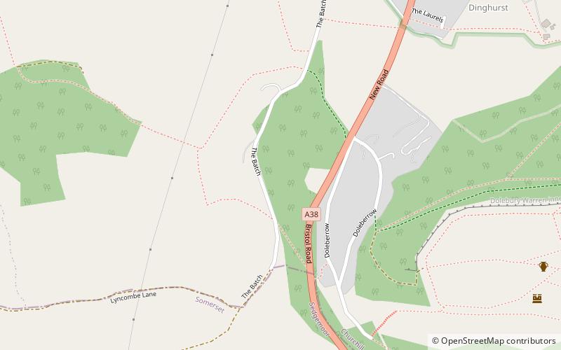
Dinghurst fort, Cheddar

Map
Facts and practical information
Dinghurst fort is an Iron Age univallate hillfort south of Churchill in Somerset, England. A scarp encircles the camp, 2.0 metres high in the east and 3.0 metres high in the west. The fort is also surrounded by a fosse. Bones, rings, and weapons have been found inside the fort. ()
Coordinates: 51°19'43"N, 2°47'55"W
Address
Cheddar
ContactAdd
Social media
Add
Day trips
Dinghurst fort – popular in the area (distance from the attraction)
Nearby attractions include: Dolebury Warren, Churchill Methodist Church, Church of St Michael and All Angels, Sidney Hill Cottage Homes.
Frequently Asked Questions (FAQ)
Which popular attractions are close to Dinghurst fort?
Nearby attractions include Church of St John the Baptist, Cheddar (10 min walk), Churchill Methodist Church, Congresbury (11 min walk), Church of St Michael and All Angels, Mendips (12 min walk), Sidney Hill Cottage Homes, Congresbury (14 min walk).


