Drake's Leat, Dartmoor National Park
Map

Gallery

Facts and practical information
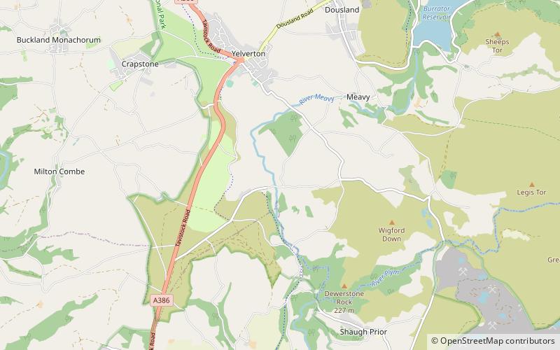
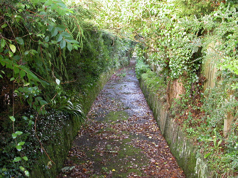
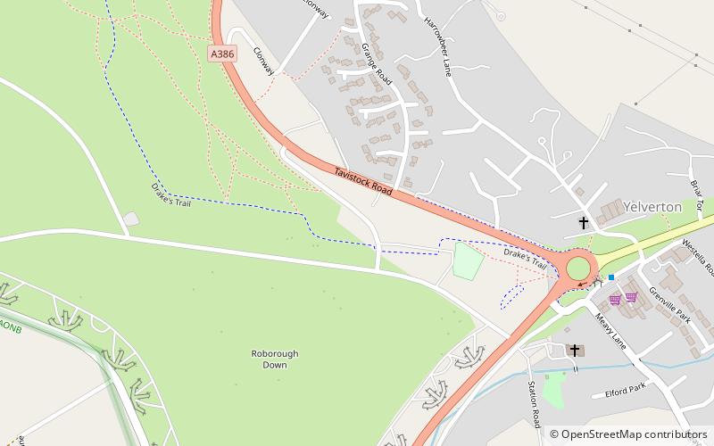
Drake's Leat, also known as Plymouth Leat, was a watercourse constructed in the late 16th century to tap the River Meavy on Dartmoor, England, from which it ran 17.5 miles in order to supply Plymouth with water. It began at a point now under water at Burrator Reservoir, from which its path now emerges some 10m lower than the typical reservoir water level. It was one of the first municipal water supplies in the country. ()
Coordinates: 50°28'26"N, 4°4'37"W
Address
Dartmoor National Park
ContactAdd
Social media
Add
Day trips
Drake's Leat – popular in the area (distance from the attraction)
Nearby attractions include: Buckland Abbey, Burrator Reservoir, Cuckoo Rock, Crazywell Pool.


