Duffield Frith, Matlock

Map
Facts and practical information
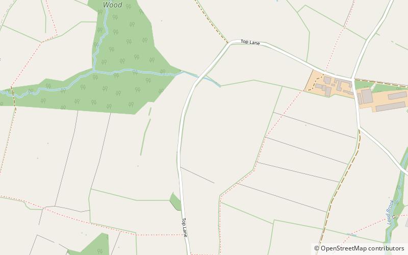
Duffield Frith was, in medieval times, an area of Derbyshire in England, part of that bestowed upon Henry de Ferrers by King William, controlled from his seat at Duffield Castle. From 1266 it became part of the Duchy of Lancaster and from 1285 it was a Royal Forest with its own Forest Courts. ()
Coordinates: 53°2'46"N, 1°33'9"W
Address
Matlock
ContactAdd
Social media
Add
Day trips
Duffield Frith – popular in the area (distance from the attraction)
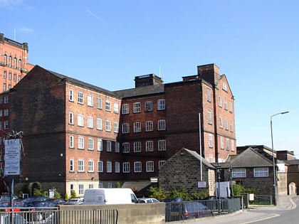
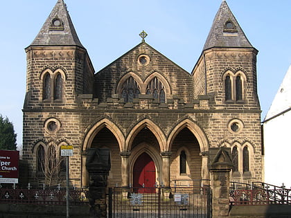
Nearby attractions include: Derwent Valley Mills, Belper North Mill, Alport Height, Belper Congregational Church.
Frequently Asked Questions (FAQ)
How to get to Duffield Frith by public transport?
The nearest stations to Duffield Frith:
Train
Bus
Train
- Idridgehay (26 min walk)
Bus
- Wood Lane • Lines: 6.1 (26 min walk)
- Black Swan • Lines: 6.1 (28 min walk)


