Duncan's Dam, Lisburn

Map
Facts and practical information
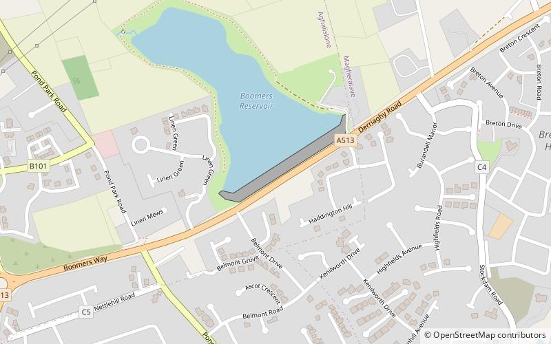
Duncan's Dam is a dam situated in Lisburn, County Antrim, Northern Ireland, near the Thiepval Army Barracks. It was used until 1941 as a water supply for Lisburn. The dam is now open to the public - there is a path around the water and a playground at the north end. The parking is free. ()
Coordinates: 54°31'50"N, 6°3'50"W
Address
Lisburn
ContactAdd
Social media
Add
Day trips
Duncan's Dam – popular in the area (distance from the attraction)
Nearby attractions include: Sprucefield Centre, Drumbo Park, Malone Golf Club, Casement Park.
Frequently Asked Questions (FAQ)
How to get to Duncan's Dam by public transport?
The nearest stations to Duncan's Dam:
Train
Train
- Lisburn (35 min walk)


