Port Solent, Portsmouth
Map

Map

Facts and practical information
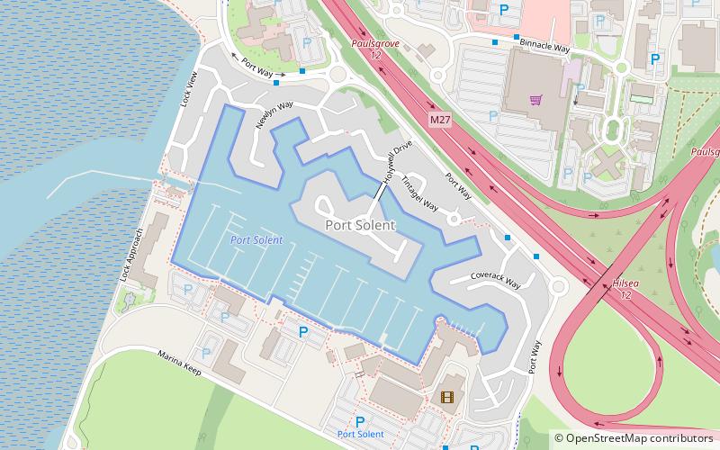
Port Solent is the commercial name of a housing and leisure development located in the Paulsgrove suburb of the English city of Portsmouth, Hampshire, comprising a marina, a housing estate, shopping and leisure facilities. ()
Coordinates: 50°50'35"N, 1°5'55"W
Address
PaulsgrovePortsmouth
ContactAdd
Social media
Add
Day trips
Port Solent – popular in the area (distance from the attraction)
Nearby attractions include: Portchester Castle, Hilsea Lido, Portus Adurni, Portsdown Hill.
Frequently Asked Questions (FAQ)
Which popular attractions are close to Port Solent?
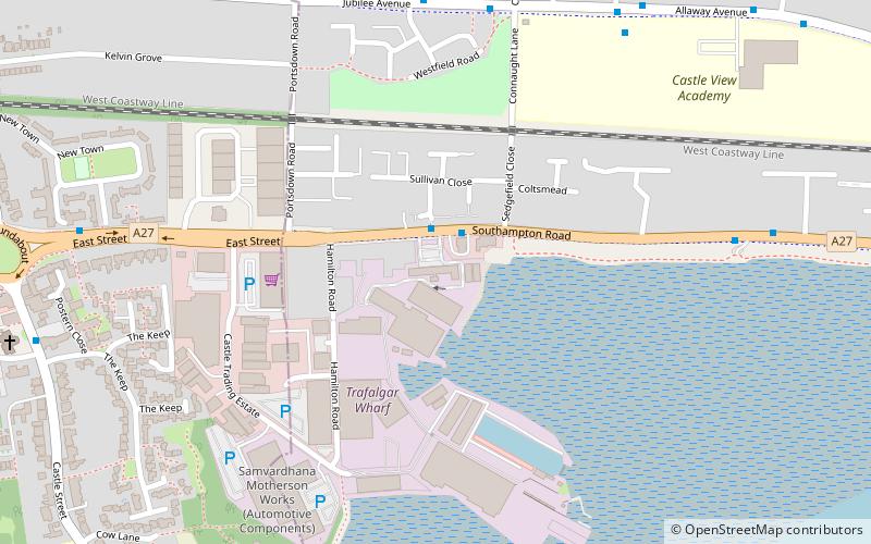
Nearby attractions include Paulsgrove, Portsmouth (14 min walk), Trafalgar Wharf, Portsmouth (20 min walk), Portchester Castle, Portsmouth (20 min walk), Portus Adurni, Portsmouth (21 min walk).
How to get to Port Solent by public transport?
The nearest stations to Port Solent:
Train
Train
- Portchester (31 min walk)


