Wyre Council, Poulton-le-Fylde

Gallery (1)
Map
Map
Facts and practical information
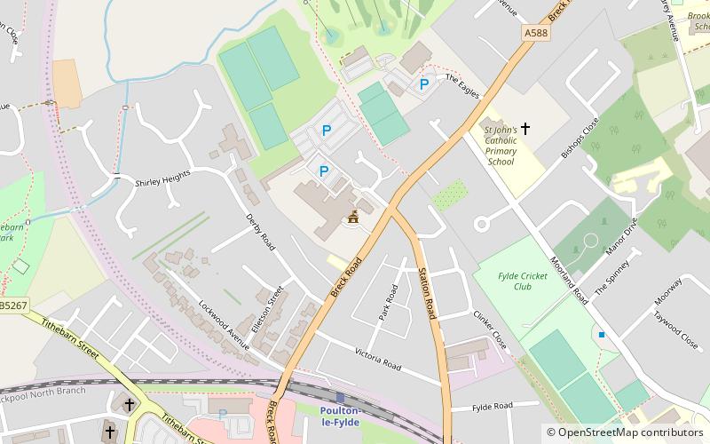
Wyre Council (address: Civic Centre, Breck Road) is a place located in Poulton-le-Fylde (England kingdom) and belongs to the category of city hall.
It is situated at an altitude of 36 feet, and its geographical coordinates are 53°51'3"N latitude and 2°59'22"W longitude.
Among other places and attractions worth visiting in the area are: St John's (church, 5 min walk), St Chad's Church (town, 7 min walk), Shard Bridge, Blackpool (bridge, 35 min walk).
Coordinates: 53°51'3"N, 2°59'22"W
Day trips
Wyre Council – popular in the area (distance from the attraction)
Nearby attractions include: St Chad's Church, St John's, Shard Bridge, Blackpool Sixth Form College.


Frequently Asked Questions (FAQ)
Which popular attractions are close to Wyre Council?
Nearby attractions include St John's, Poulton-le-Fylde (5 min walk), St Chad's Church, Poulton-le-Fylde (7 min walk).