Cumberwell Park, Bradford on Avon
Map

Map

Facts and practical information
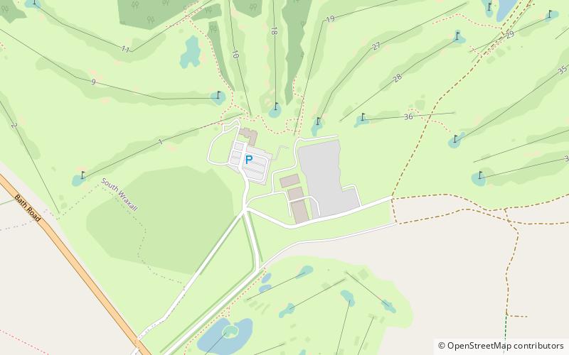
Cumberwell Park is a place located in Bradford on Avon (England kingdom) and belongs to the category of outdoor activities, golf.
It is situated at an altitude of 305 feet, and its geographical coordinates are 51°22'3"N latitude and 2°15'38"W longitude.
Among other places and attractions worth visiting in the area are: Great Pulteney Street, Bath (street, 31 min walk), Christ Church (church, 32 min walk), St Thomas More Roman Catholic Church (church, 36 min walk).
Coordinates: 51°22'3"N, 2°15'38"W
Day trips
Cumberwell Park – popular in the area (distance from the attraction)
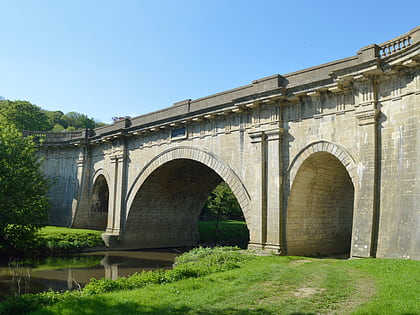
Nearby attractions include: St Laurence's Church, Dundas Aqueduct, Great Chalfield Manor, Claverton Pumping Station.


