Maiden Moor

Gallery (2)
Map
Map
Gallery
Facts and practical information
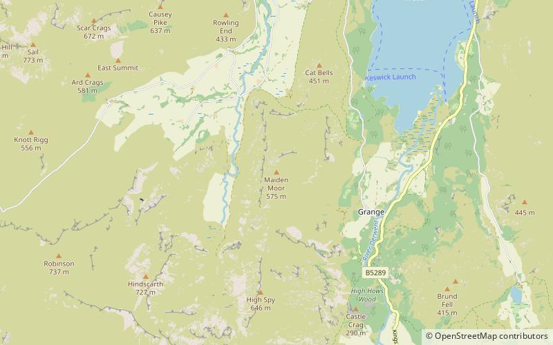
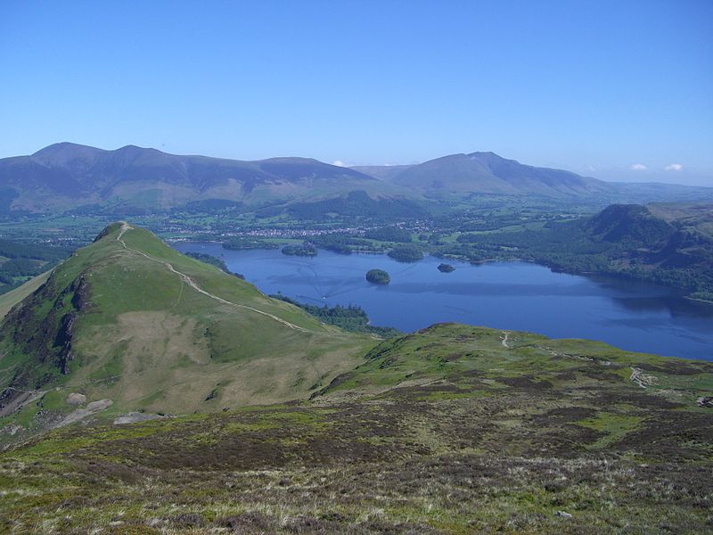
Maiden Moor is a fell in the English Lake District, it stands 6 km south of the town of Keswick and is part of the high ground that separates the Newlands Valley and Borrowdale, it has a modest height of 576 m and so fails to be mentioned on many UK mountain lists but it does have a separate chapter in Alfred Wainwright’s Pictorial Guide to the Lakeland Fells. ()
Elevation: 1890 ftProminence: 52 ftCoordinates: 54°33'10"N, 3°10'53"W
Location
England
ContactAdd
Social media
Add
Day trips


