Bath Street drill hall, Warrington

Gallery (1)
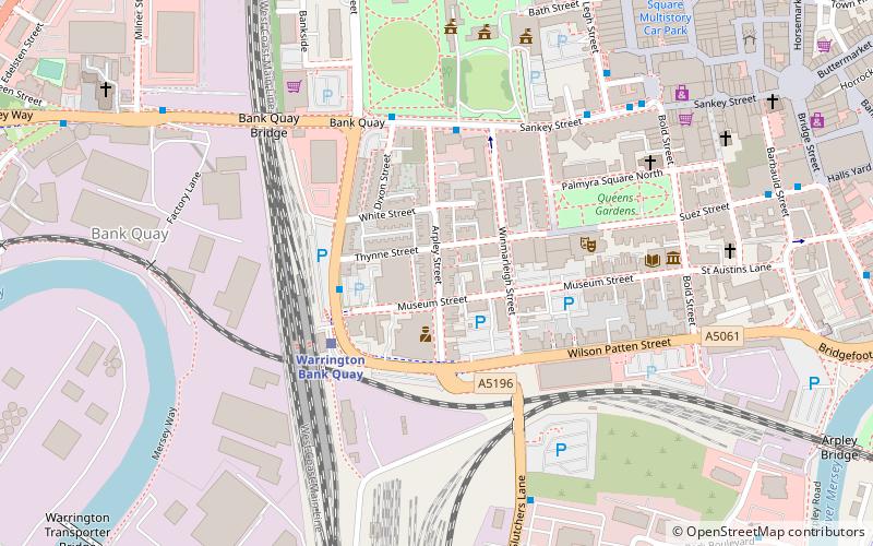
Map

Map
Facts and practical information
The Bath Street drill hall is a former military installation in Warrington, Cheshire. ()
Built: XIX centuryCoordinates: 53°23'24"N, 2°35'56"W
Address
Warrington
ContactAdd
Social media
Add
Getting there by public transportation
Public transportation stops near this location
- Bus
- Train
 Bus
Bus
- Calculate routeStand 18 5 min walk
- Calculate routeStand 17 5 min walk
- Calculate routeStand 16 5 min walk
- Calculate routeStand 15 5 min walk
- Calculate routeWarrington Central 8 min walk
- Calculate routeWarrington Bank Quay 8 min walk
Day trips


Frequently Asked Questions (FAQ)
Which popular attractions are close to Bath Street drill hall?
Nearby attractions include Warrington Town Hall, Warrington (1 min walk), 19–21 Sankey Street, Warrington (5 min walk), Parr Hall, Warrington (5 min walk), Holy Trinity Church, Warrington (6 min walk).
How to get to Bath Street drill hall by public transport?
The nearest stations to Bath Street drill hall:
Bus
Train
Bus
- Stand 18 • Lines: 17, 18 (5 min walk)
- Stand 17 • Lines: 13, 14, 15 (5 min walk)
Train
- Warrington Central (8 min walk)
- Warrington Bank Quay (8 min walk)