Ridgeway, Newport
Map
Map

Facts and practical information
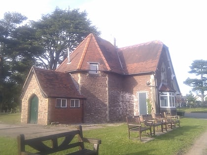
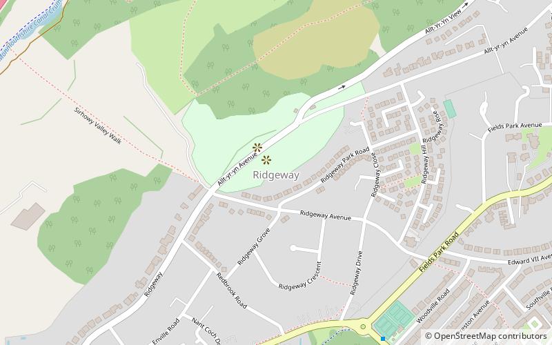
Ridgeway is an area in Newport, Wales, in the electoral ward and community of Allt-yr-yn. It is well known for its ridge which overlooks Rogerstone and the nearby woodland areas. Ridgeway is at the end of the estate the main road breaks off onto the M4 motorway. ()
Coordinates: 51°35'17"N, 3°1'17"W
Address
Newport
ContactAdd
Social media
Add
Day trips
Ridgeway – popular in the area (distance from the attraction)
Nearby attractions include: High Street, Friars Walk, El Sieco's, Newport Market.
Frequently Asked Questions (FAQ)
Which popular attractions are close to Ridgeway?
Nearby attractions include St Woolos Cemetery, Newport (11 min walk), Newport Civic Centre, Newport (18 min walk), St Mark's, Newport (21 min walk), Shire Hall, Newport (24 min walk).
How to get to Ridgeway by public transport?
The nearest stations to Ridgeway:
Bus
Train
Bus
- West Park Road • Lines: 151, 50 (15 min walk)
- Handpost • Lines: 151 (16 min walk)
Train
- Newport (23 min walk)
- Pye Corner (25 min walk)


