Five Ways, Birmingham
Map
Gallery
Facts and practical information
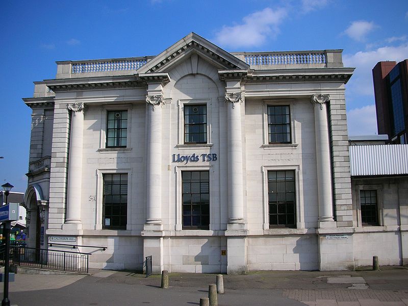
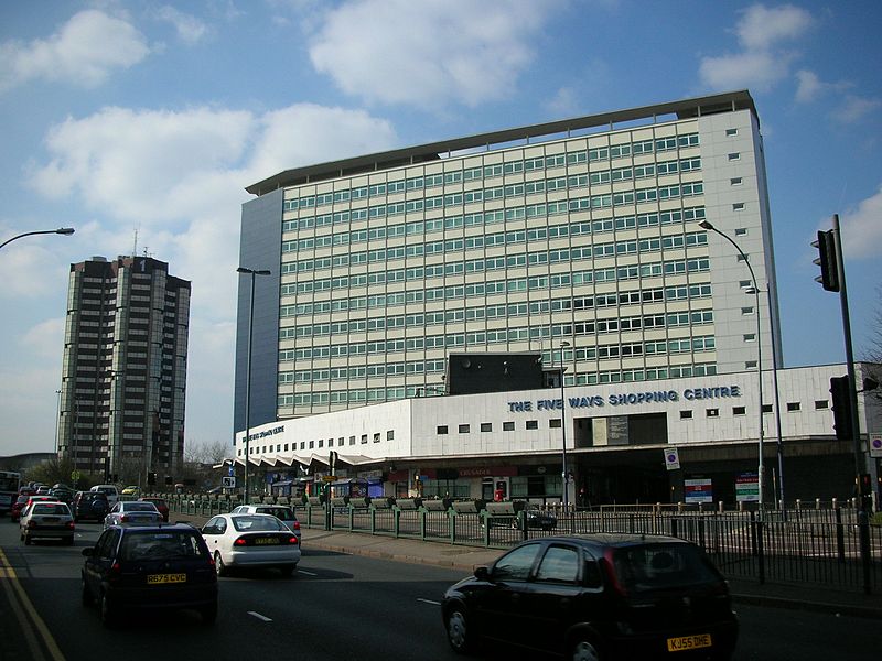
Five Ways is an area of Central Birmingham, England. It takes its name from a major road junction, now a busy roundabout to the south-west of the city centre which lies at the outward end of Broad Street, where the Birmingham Middle ring road crosses the start of the A456. ()
Coordinates: 52°28'22"N, 1°55'7"W
Address
EdgbastonBirmingham
ContactAdd
Social media
Add
Day trips
Five Ways – popular in the area (distance from the attraction)
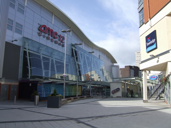
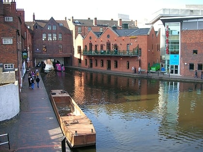
Nearby attractions include: The Mailbox, Arena Birmingham, National Sea Life Centre, Gas Street Basin.
Frequently Asked Questions (FAQ)
Which popular attractions are close to Five Ways?
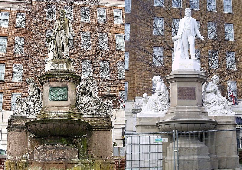
Nearby attractions include Joseph Sturge memorial, Birmingham (2 min walk), Regal Tower, Birmingham (8 min walk), Sherborne Wharf, Birmingham (8 min walk), Five Ways Tower, Birmingham (8 min walk).
How to get to Five Ways by public transport?
The nearest stations to Five Ways:
Bus
Train
Tram
Bus
- Fb • Lines: X8 (3 min walk)
- Friston Ave / Broadway Plaza • Lines: X8 (4 min walk)
Train
- Five Ways (7 min walk)
- Birmingham New Street (23 min walk)
Tram
- Library • Lines: 1 (16 min walk)
- Town Hall • Lines: 1 (21 min walk)


