Forest of Lyme, New Mills

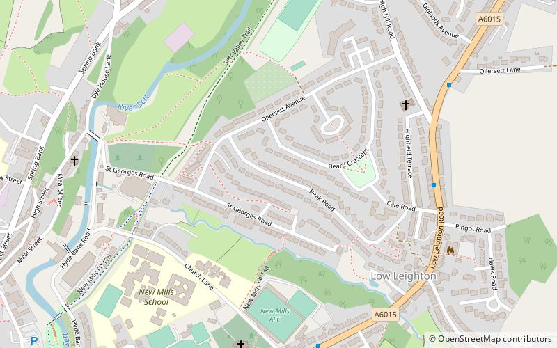
Map
Facts and practical information
The Forest of Lyme is a former, mainly elm tree, forest in the present day counties of Cheshire, Staffordshire and parts of Derbyshire. Parts of the forest remain and its name is preserved in many local place-names. ()
Coordinates: 53°22'8"N, 1°59'35"W
Address
New Mills
ContactAdd
Social media
Add
Day trips
Forest of Lyme – popular in the area (distance from the attraction)
Nearby attractions include: New Mills Library, Torrs Riverside Park, Sett Valley Trail, New Mills Community Orchard.
Frequently Asked Questions (FAQ)
Which popular attractions are close to Forest of Lyme?
Nearby attractions include New Mills Library, New Mills (10 min walk), New Mills Heritage & Information Centre, New Mills (12 min walk), Torrs Riverside Park, New Mills (12 min walk), Torr Vale Mill, New Mills (14 min walk).


