Fort Gillingham, Gillingham
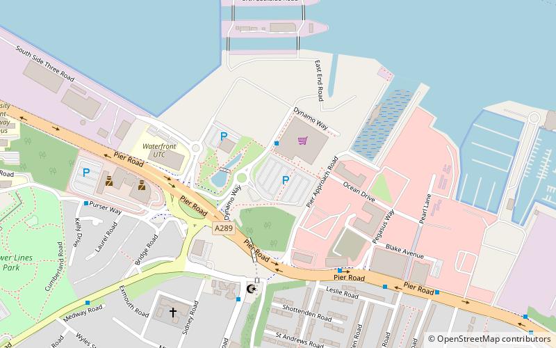
Map
Facts and practical information
Fort Gillingham, also known as Gillingham Fort, was constructed in 1669 on the south bank of the River Medway in Kent, England. ()
Coordinates: 51°23'49"N, 0°33'7"E
Address
ChathamGillingham
ContactAdd
Social media
Add
Getting there by public transportation
Public transportation stops near this location
- Bus
- Train
 Bus
Bus
- Calculate routeFort Apache 17 min walk
- Calculate routeGillingham 19 min walk
- Calculate routeMaritime Quayside House 19 min walk
- Calculate routeSt Marks Church 19 min walk
- Calculate routeSt Marys Island Goldcrest Drive 20 min walk
- Calculate routeDockside Outlet 23 min walk
Day trips


Frequently Asked Questions (FAQ)
Which popular attractions are close to Fort Gillingham?
Nearby attractions include Drill Hall Library, Gillingham (14 min walk), The Monarch, Gillingham (17 min walk), PS Medway Queen, Gillingham (17 min walk), Gillingham Library, Gillingham (18 min walk).
How to get to Fort Gillingham by public transport?
The nearest stations to Fort Gillingham:
Train
Bus
Train
- Fort Apache (17 min walk)
- Gillingham (19 min walk)
Bus
- Maritime Quayside House • Lines: 100 (19 min walk)
- St Marks Church • Lines: 116 (19 min walk)