Trek Zone

Feakins of Kettering, Kettering

#18 among attractions in Kettering

Sightseeing
Feakins of Kettering

Facts and practical information

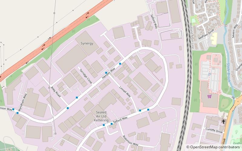
Feakins of Kettering (address: 16 Linnell Way, Telford Way Industrial Estate) is a place located in Kettering (England kingdom) and belongs to the category of sightseeing.

It is situated at an altitude of 325 feet, and its geographical coordinates are 52°24'38"N latitude and 0°44'25"W longitude.

Among other places and attractions worth visiting in the area are: Rockingham Road (sport, 13 min walk), Eden Centre (church, 24 min walk), St Peter and St Paul's Church (church, 29 min walk).

Coordinates: 52°24'38"N, 0°44'25"W
Address

16 Linnell Way, Telford Way Industrial EstateKettering United Kingdom

Contact
Social media
Add

Kettering plan & book

Unleash the traveler in you — discover the cheapest flight deals, find the perfect hotel or hostel nearby, and search for the best car rental prices. Travel at your own pace to discover new places and enjoy your journey.

Day trips

Feakins of Kettering – popular in the area (distance from the attraction)

Nearby attractions include: St Peter and St Paul's Church, Kettering Library, Eden Centre, Rockingham Road.

  • st peter and st pauls church kettering location map
    1.1 miSE
  • kettering library location map
    1.1 miSE
  • eden centre kettering0.9 miSE
  • rockingham road kettering0.5 miE

Where to next? Visit england England region page or discover the top tourist attractions in United Kingdom.