Rubers Law
Map

Map

Facts and practical information
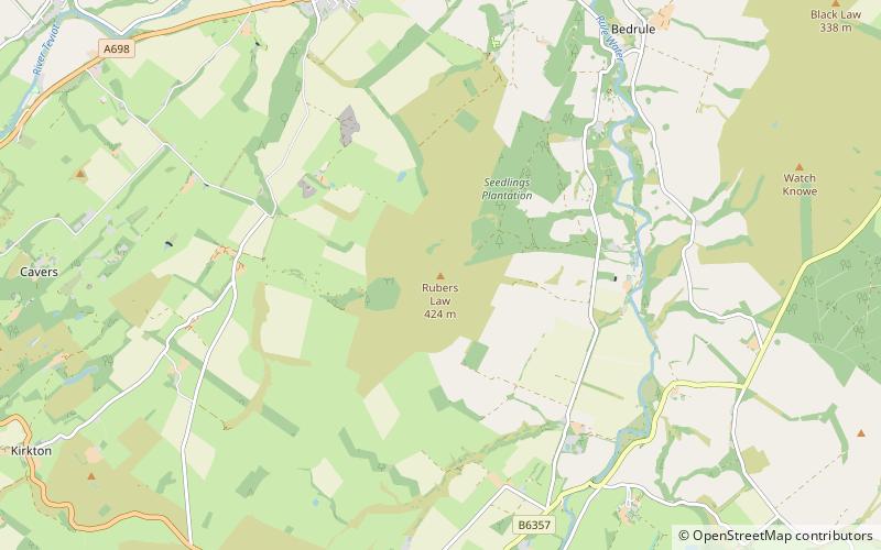
Rubers Law is a prominent, conical hill in the Scottish Borders area of south-east Scotland. It stands on the south bank of the River Teviot, between the towns of Hawick and Jedburgh, and south of the village of Denholm. The hill is on the border between the historic parishes of Cavers and Hobkirk, and until 1975 it stood within the historic county of Roxburghshire. ()
Elevation: 1391 ftProminence: 643 ftCoordinates: 55°25'56"N, 2°39'53"W
Location
Scotland
ContactAdd
Social media
Add
Day trips
Rubers Law – popular in the area (distance from the attraction)
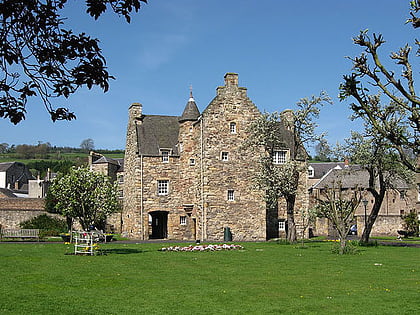
Nearby attractions include: Mary Queen of Scots House, Jedburgh Abbey, Jedburgh Town Hall, Jedburgh Library.


