Scar End, Yorkshire Dales National Park

Gallery (2)
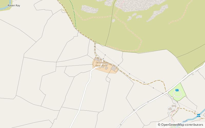
Map
Map
Gallery
Facts and practical information
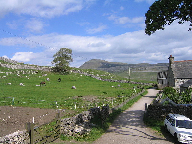
Scar End is a settlement on the side of Twistleton Scar in the English county of North Yorkshire. ()
Coordinates: 54°10'15"N, 2°27'32"W
Address
Yorkshire Dales National Park
ContactAdd
Social media
Add
Day trips


