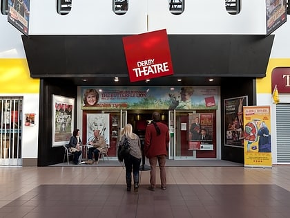
Derby Racecourse, Derby
Map
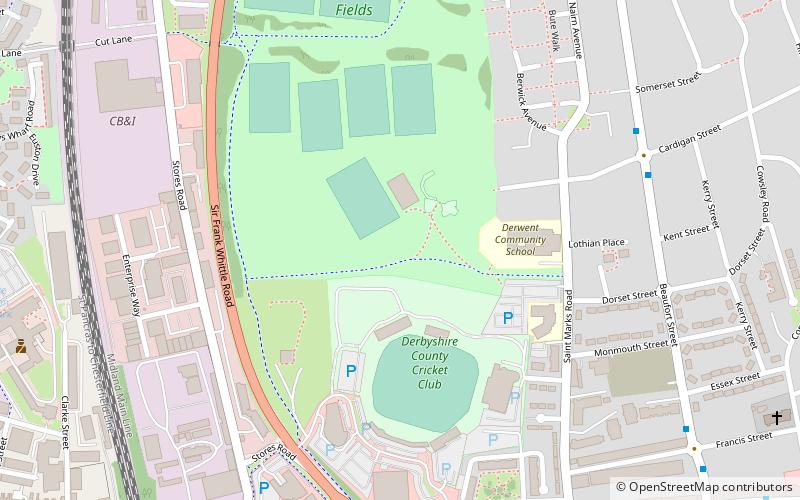
Map

Facts and practical information
Derby Racecourse is a former horse racing venue in Derby, England, from 1848 to 1939. It was preceded by two earlier courses, at different locations. ()
Opened: 1848 (178 years ago)Coordinates: 52°55'45"N, 1°27'42"W
Address
DerwentDerby
ContactAdd
Social media
Add
Day trips
Derby Racecourse – popular in the area (distance from the attraction)
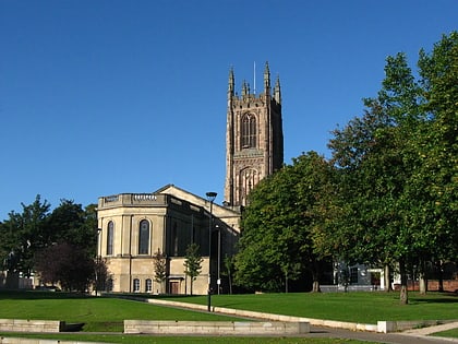
Nearby attractions include: Derbion, County Cricket Ground, Derby Museum and Art Gallery, Derby Cathedral.
Frequently Asked Questions (FAQ)
Which popular attractions are close to Derby Racecourse?
Nearby attractions include County Cricket Ground, Derby (3 min walk), St Mark's Church, Derby (10 min walk), St Mary's Bridge Chapel, Derby (16 min walk), Cathedral Green Footbridge, Derby (17 min walk).
How to get to Derby Racecourse by public transport?
The nearest stations to Derby Racecourse:
Bus
Train
Bus
- Cardigan Street • Lines: 22, 24 (7 min walk)
- Wayzgoose Drive • Lines: 20, 22, 24, 26, Black Cat, i4 (8 min walk)
Train
- Derby (23 min walk)


