Liddel Castle

Gallery (1)
Map
Map
Facts and practical information
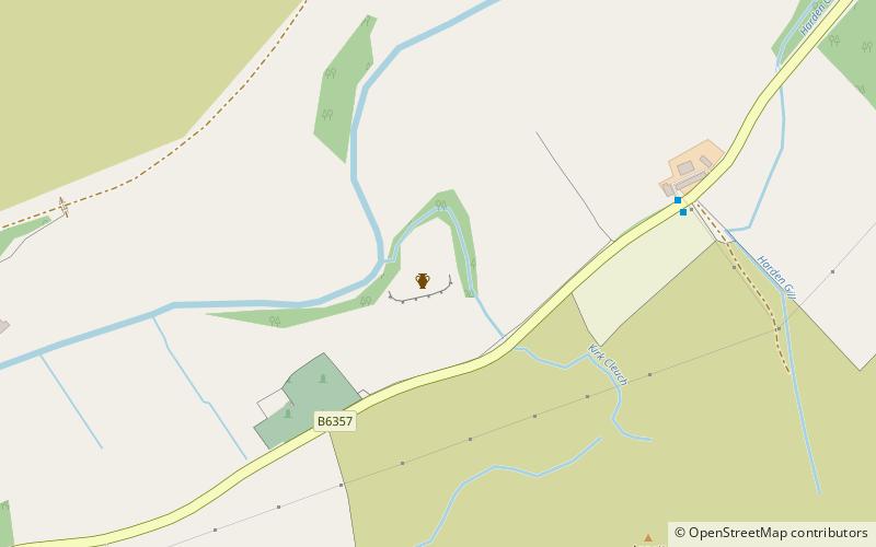
Liddel Castle is a ruined castle in Liddesdale, by the Liddel Water, near Castleton in the Scottish Borders area of Scotland, in the former county of Roxburghshire. Liddel Castle is a scheduled monument. ()
Coordinates: 55°12'5"N, 2°46'18"W
Location
Scotland
ContactAdd
Social media
Add
Day trips


