Strathclyde Park, Hamilton
Map
Map

Facts and practical information
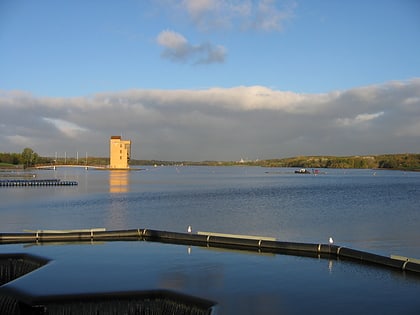
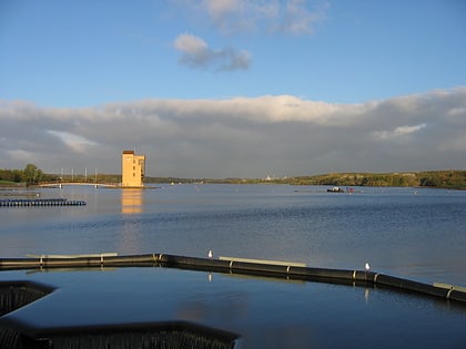
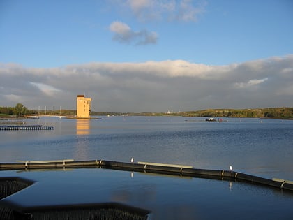
Strathclyde Country Park is a country park located on the outskirts of Motherwell in North Lanarkshire, Scotland, named after the former Strathclyde region of Scotland. It is often commonly referred to as Strathclyde, or simply Strathy. ()
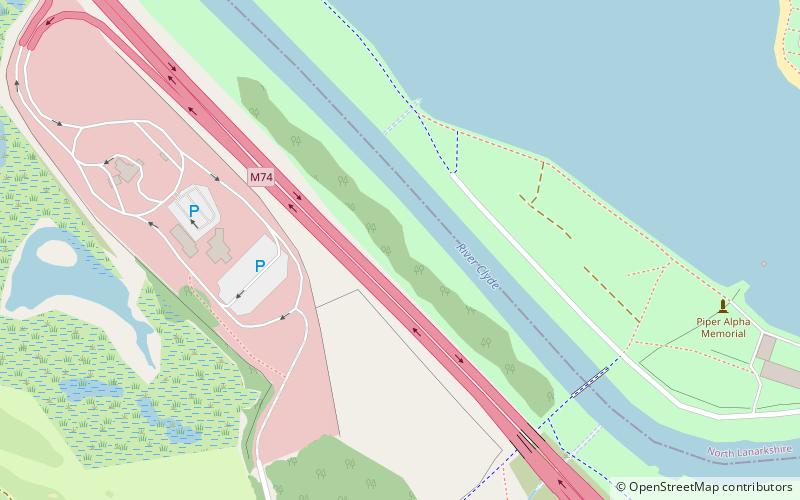
Elevation: 85 ft a.s.l.Coordinates: 55°47'13"N, 4°1'50"W
Address
Hamilton
ContactAdd
Social media
Add
Day trips
Strathclyde Park – popular in the area (distance from the attraction)
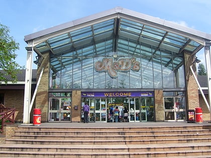
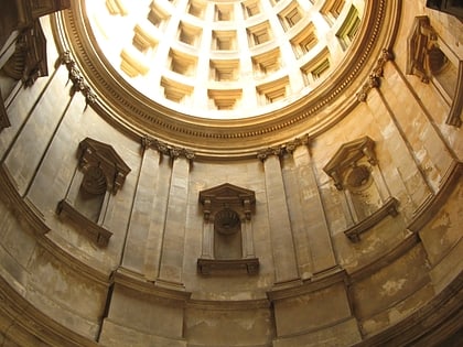
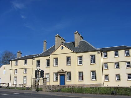
Nearby attractions include: M&D's, New Douglas Park, Hamilton Mausoleum, Low Parks Museum.
Frequently Asked Questions (FAQ)
Which popular attractions are close to Strathclyde Park?
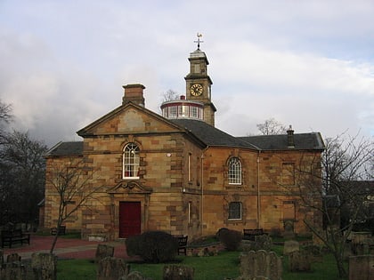
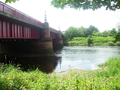
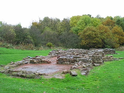
Nearby attractions include Hamilton Mausoleum, Hamilton (7 min walk), Bothwellhaugh Roman Fort, Hamilton (13 min walk), Low Parks Museum, Hamilton (14 min walk), Clyde Bridge, Motherwell (18 min walk).
How to get to Strathclyde Park by public transport?
The nearest stations to Strathclyde Park:
Bus
Train
Bus
- Hamilton Bus Station (26 min walk)
- Stance 1 • Lines: 336 (26 min walk)
Train
- Hamilton Central (26 min walk)
- Hamilton West (29 min walk)
