Aughnacloy

Map
Facts and practical information
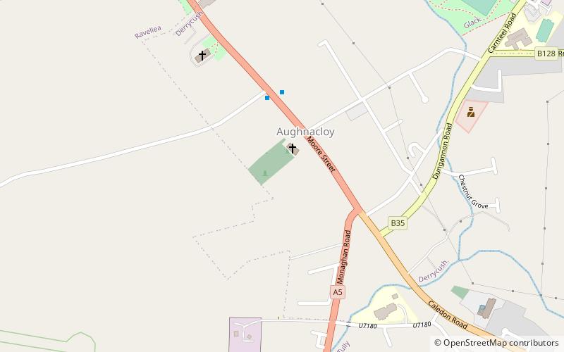
Aughnacloy is a townland of 115 acres in County Tyrone, Northern Ireland. It is situated in the civil parish of Annaclone and the historic barony of Iveagh Upper, Upper Half. ()
Coordinates: 54°24'50"N, 6°58'37"W
Location
95 Moore StreetNorthern Ireland
ContactAdd
Social media
Add
Day trips
Aughnacloy – popular in the area (distance from the attraction)
Nearby attractions include: Favour Royal.
