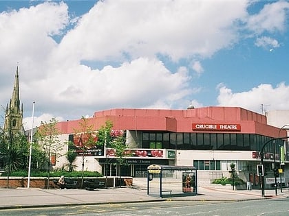
St Paul's Church, Sheffield

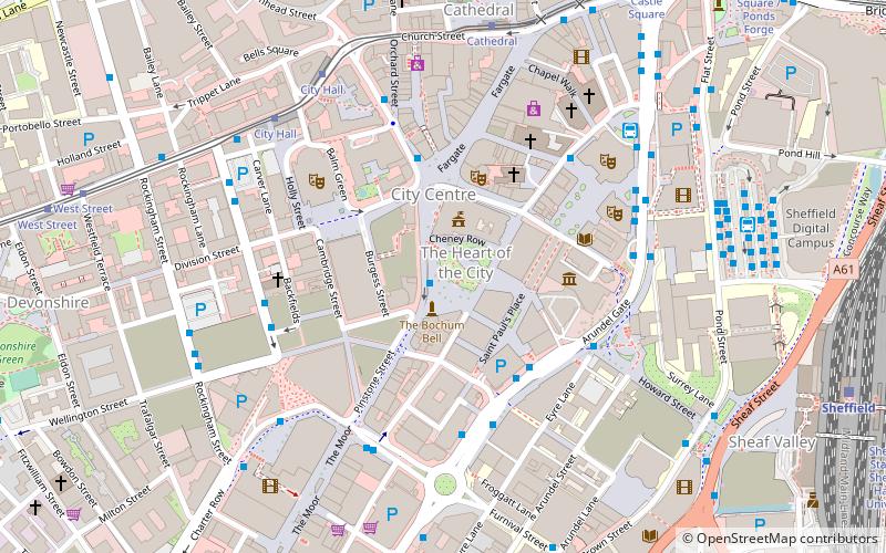
Map
Facts and practical information
St Paul's Church, Sheffield, was a chapel of ease to Sheffield Parish Church. ()
Completed: 1721 (305 years ago)Capacity: 1200Coordinates: 53°22'47"N, 1°28'12"W
Day trips
St Paul's Church – popular in the area (distance from the attraction)
Nearby attractions include: Sheffield Town Hall, Millennium Gallery, Crucible Theatre, Peace Gardens.
Frequently Asked Questions (FAQ)
Which popular attractions are close to St Paul's Church?
Nearby attractions include Peace Gardens, Sheffield (1 min walk), Sheffield Town Hall, Sheffield (2 min walk), Millennium Square, Sheffield (2 min walk), St Paul's Place, Sheffield (2 min walk).
How to get to St Paul's Church by public transport?
The nearest stations to St Paul's Church:
Bus
Tram
Train
Bus
- Arundel Gate/Charles Street CS3 • Lines: 6, 80, X1 (3 min walk)
- Arundel Gate/Charles Street CS1 • Lines: 20, 5, 80, 81, 82, 88, X1 (4 min walk)
Tram
- City Hall • Lines: Blue, Yell (5 min walk)
- Cathedral • Lines: Blue, Purp, Tt, Yell (6 min walk)
Train
- Sheffield (9 min walk)


