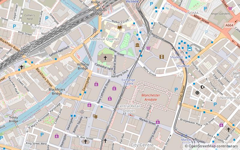
Hanging Bridge, Manchester
Map
Facts and practical information
Hanging Bridge is a medieval bridge spanning the Hanging Ditch, which connected the rivers Irk and Irwell in Manchester, England. The first reference to the bridge was in 1343, when it was called Hengand Brigge, but the present structure was built in 1421, replacing an earlier bridge. Material taken from Manchester's Roman fort may have been used in its construction. It has been speculated that the Hanging Ditch may be of Roman origin, part of a defensive circuit between the rivers Irk and Irwell. ()
Coordinates: 53°29'4"N, 2°14'36"W
Address
City CentreManchester
ContactAdd
Social media
Add
Getting there by public transportation
Public transportation stops near this location
- Bus
- Tram
- Train
 Bus
Bus
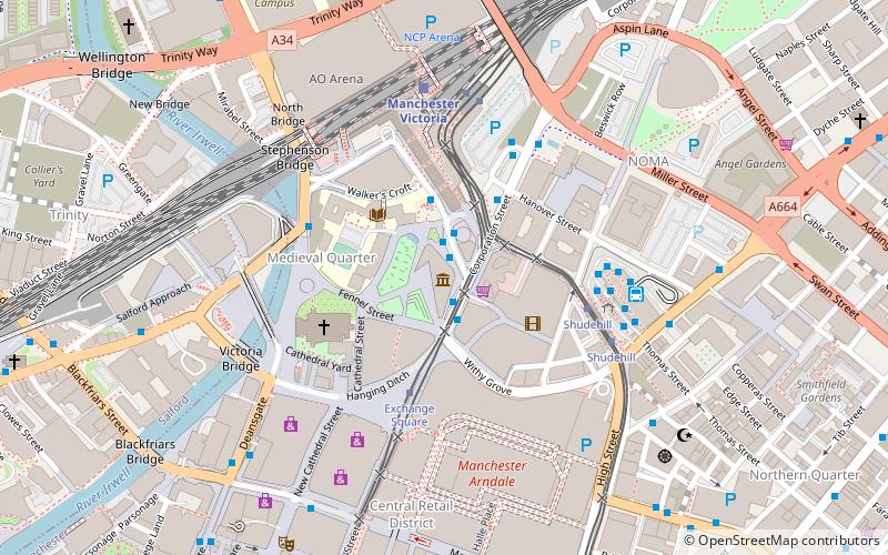
- Calculate routeExchange Square 1 min walk
- Calculate routeShudehill 5 min walk
- Calculate routeVictoria 7 min walk
- Calculate routeCorporation Street/Printworks 3 min walk
- Calculate routeMARKET STREET/Market Street 3 min walk
- Calculate routeDEANSGATE/St Mary's Gate 4 min walk
- Calculate routeVictoria Station Approach 4 min walk
- Calculate routeManchester Victoria 7 min walk
- Calculate routeSalford Central 14 min walk
- Calculate routeManchester Piccadilly 19 min walk
- Calculate routeManchester Oxford Road 19 min walk
Maps MetrolinkMaps
 Metrolink / Rail
MetrolinkMapsMetrolink / RailDay trips


Frequently Asked Questions (FAQ)
Which popular attractions are close to Hanging Bridge?
Nearby attractions include Exchange Square, Manchester (1 min walk), Wheel of Manchester, Manchester (1 min walk), Shambles Square, Manchester (1 min walk), Corporation Street, Manchester (1 min walk).
How to get to Hanging Bridge by public transport?
The nearest stations to Hanging Bridge:
Tram
Bus
Train
Tram
- Exchange Square • Lines: EDid, Roch, Shaw (1 min walk)
- Shudehill • Lines: Airp, Altr, Bury, Picc, Vict (5 min walk)
Bus
- Corporation Street/Printworks • Lines: 2, 2 (peak) (3 min walk)
- MARKET STREET/Market Street • Lines: 1 (3 min walk)
Train
- Manchester Victoria (7 min walk)
- Salford Central (14 min walk)