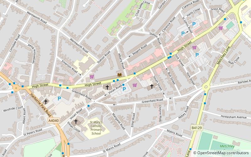
Harborne, Birmingham
Map

Map

Facts and practical information
Harborne ward is a local government district, one of 40 wards that make up Birmingham City Council. Harborne lies to the south west of Birmingham city centre. It has a slightly older age profile than the city average. The percentage of ethnic minority residents is below the city average. Unemployment is below the city average. The ward population at the 2011 census was 23,001. ()
Coordinates: 52°27'30"N, 1°57'1"W
Address
HarborneBirmingham
ContactAdd
Social media
Add
Day trips
Harborne – popular in the area (distance from the attraction)
Nearby attractions include: Birmingham Botanical Gardens, Lapworth Museum of Geology, Winterbourne Botanic Garden, Barber Institute of Fine Arts.
Frequently Asked Questions (FAQ)
Which popular attractions are close to Harborne?
Nearby attractions include Harborne Reserve, Birmingham (11 min walk), St Peter's Church, Birmingham (13 min walk), The Queen's Foundation, Birmingham (19 min walk), Queen's Park, Birmingham (23 min walk).
How to get to Harborne by public transport?
The nearest stations to Harborne:
Train
Bus
Train
- University (20 min walk)
- Selly Oak (34 min walk)
Bus
- Hagley Rd / Gillott Rd • Lines: X8 (26 min walk)
- Bristol Rd / Dawlish Rd • Lines: 63 (29 min walk)


