Abergavenny Bridge, Abergavenny
Map

Map

Facts and practical information
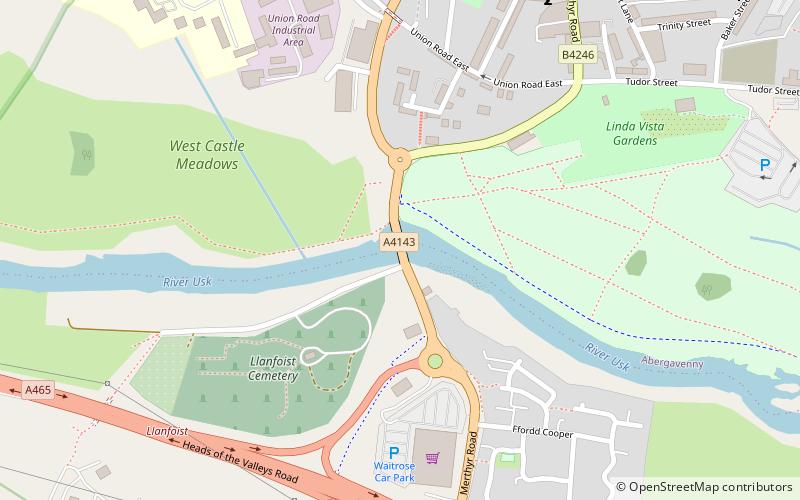
Abergavenny Bridge, crosses the River Usk at the boundary between Abergavenny and Llanfoist. The bridge carries the A4143. The bridge is of medieval origin, but was substantially reconstructed in the early 19th century, to support a tramroad, and in the mid 19th century, when the two bridges were combined. ()
Coordinates: 51°49'10"N, 3°1'45"W
Address
Abergavenny
ContactAdd
Social media
Add
Day trips
Abergavenny Bridge – popular in the area (distance from the attraction)
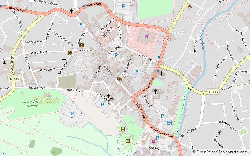
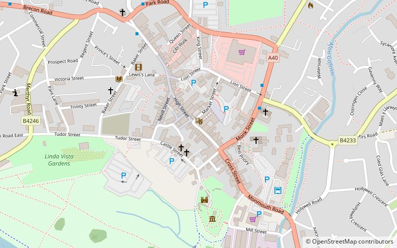
Nearby attractions include: Abergavenny Castle, Abergavenny Town Hall, Abergavenny Museum, Church of Our Lady and St Michael.
Frequently Asked Questions (FAQ)
Which popular attractions are close to Abergavenny Bridge?
Nearby attractions include Abergavenny Castle, Abergavenny (13 min walk), Borough Theatre, Abergavenny (13 min walk), Gobannium, Abergavenny (14 min walk), Abergavenny Town Hall, Abergavenny (14 min walk).
How to get to Abergavenny Bridge by public transport?
The nearest stations to Abergavenny Bridge:
Bus
Train
Bus
- Abergavenny Bus Station (16 min walk)
Train
- Abergavenny (23 min walk)


