Linder's Field, Loughton
Map
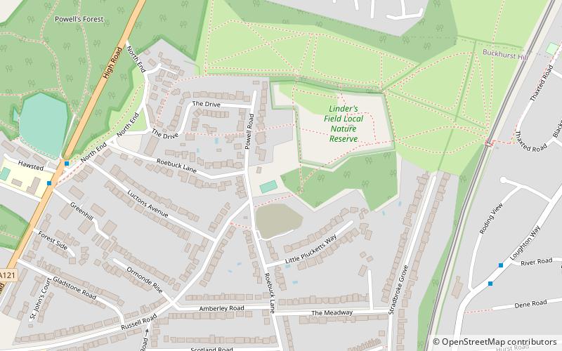
Map

Facts and practical information
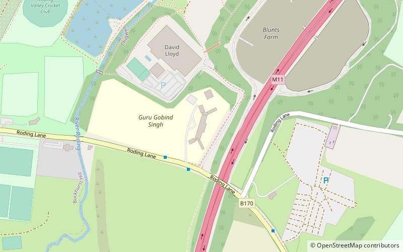
Linder's Field is a 3.6 hectare Local Nature Reserve in Buckhurst Hill in Essex. It is owned and managed by Epping Forest District Council. ()
Elevation: 184 ft a.s.l.Coordinates: 51°37'53"N, 0°2'35"E
Address
Loughton
ContactAdd
Social media
Add
Day trips
Linder's Field – popular in the area (distance from the attraction)
Nearby attractions include: Anti-Air War Memorial, Queen Elizabeth's Hunting Lodge, National Jazz Archive, Vange Hill.
Frequently Asked Questions (FAQ)
How to get to Linder's Field by public transport?
The nearest stations to Linder's Field:
Bus
Metro
Bus
- Cricket Ground • Lines: 20, 397, 549, 804 (8 min walk)
- Roding View • Lines: 167 (8 min walk)
Metro
- Buckhurst Hill • Lines: Central (11 min walk)
- Loughton • Lines: Central (23 min walk)

