Durobrivae, Peterborough
Map

Map

Facts and practical information
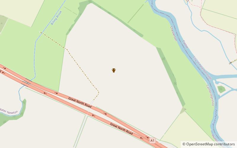
Durobrivae was a Roman fortified garrison town located at Water Newton in the English county of Cambridgeshire, where Ermine Street crossed the River Nene. More generally, it was in the territory of the Corieltauvi in a region of villas and commercial potteries. The name is a Latinisation of Celtic *Durobrīwās, meaning essentially "fort bridges". ()
Coordinates: 52°33'30"N, 0°20'52"W
Address
Peterborough
ContactAdd
Social media
Add
Day trips
Durobrivae – popular in the area (distance from the attraction)
Nearby attractions include: Serpentine Green, Elton Hall, Church of St Mary and All Saints, Longthorpe Tower.
Frequently Asked Questions (FAQ)
How to get to Durobrivae by public transport?
The nearest stations to Durobrivae:
Bus
Bus
- Priory Gardens • Lines: X4 (28 min walk)
- Alwalton, Layby • Lines: X4 (28 min walk)


