Isle of Dogs, London
Map

Map

Facts and practical information
The Isle of Dogs is a large peninsula bounded on three sides by a large meander in the River Thames in East London, England, which includes the Cubitt Town, Millwall and Canary Wharf districts. The area was historically part of the Manor, Hamlet, Parish and, for a time, the wider borough of Poplar. The name had no official status until the 1987 creation of the Isle of Dogs Neighbourhood by Tower Hamlets London Borough Council. It has been known locally as simply "the Island" since the 19th century. ()
Address
Tower Hamlets (Isle of Dogs)London
ContactAdd
Social media
Add
Day trips
Isle of Dogs – popular in the area (distance from the attraction)
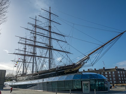
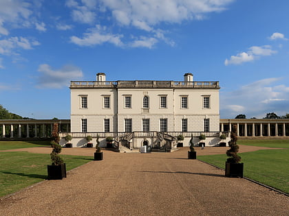
Nearby attractions include: National Maritime Museum, Old Royal Naval College, Cutty Sark, Queen's House.
Frequently Asked Questions (FAQ)
Which popular attractions are close to Isle of Dogs?
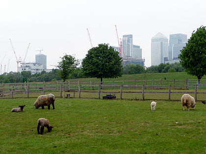
Nearby attractions include Mudchute Park and Farm, London (2 min walk), The Space, London (10 min walk), Glengall Bridge, London (10 min walk), Island Gardens, London (11 min walk).
How to get to Isle of Dogs by public transport?
The nearest stations to Isle of Dogs:
Light rail
Bus
Ferry
Metro
Train
Light rail
- Mudchute Platform 1 • Lines: B-L, S-L (2 min walk)
- Island Gardens Platform 1 • Lines: B-L, S-L (9 min walk)
Bus
- Mudchute Station • Lines: 277, N277 (2 min walk)
- Millwall Park • Lines: 277, N277 (6 min walk)
Ferry
- Masthouse Terrace Pier • Lines: Rb1 (10 min walk)
- Greenwich Pier • Lines: Blue Tour, Rb1, Rb1X, Red Tour (15 min walk)
Metro
- Canary Wharf • Lines: Jubilee (23 min walk)
- North Greenwich • Lines: Jubilee (29 min walk)
Train
- Deptford (25 min walk)
- Maze Hill (27 min walk)

 Tube
Tube

