Nunsthorpe, Grimsby
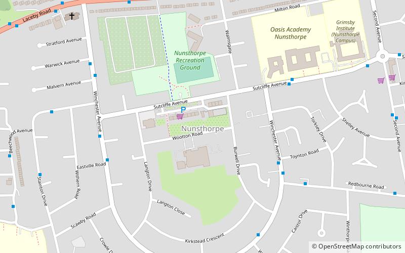
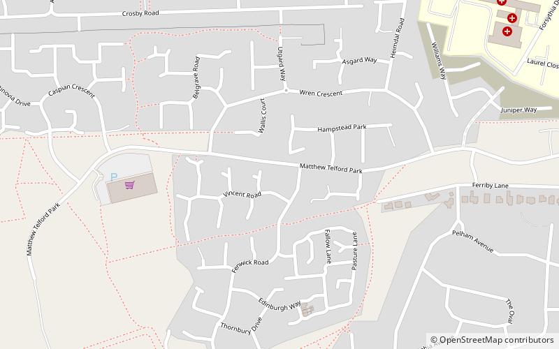
Map

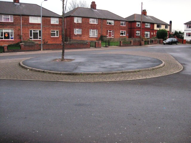
Gallery

Facts and practical information
Nunsthorpe is a suburb and housing estate in the western part of Grimsby, North East Lincolnshire, England. It is situated between Laceby Road and Scartho Road, which respectively form its northern and eastern boundaries. The population is listed in the South ward of the North East Lincolnshire Unitary Council. ()
Coordinates: 53°32'53"N, 0°6'26"W
Address
Grimsby
ContactAdd
Social media
Add
Day trips
Nunsthorpe – popular in the area (distance from the attraction)
Nearby attractions include: Grimsby Town Hall, Grimsby Minster, Grimsby Golf Club, Scartho Top.
Frequently Asked Questions (FAQ)
Which popular attractions are close to Nunsthorpe?
Nearby attractions include Franklin College, Grimsby (12 min walk), Scartho Top, Grimsby (14 min walk), Grimsby Institute of Further & Higher Education, Grimsby (17 min walk).
How to get to Nunsthorpe by public transport?
The nearest stations to Nunsthorpe:
Train
Train
- Grimsby Town (35 min walk)


