Queens Park, Bedford
Map
Gallery

Facts and practical information
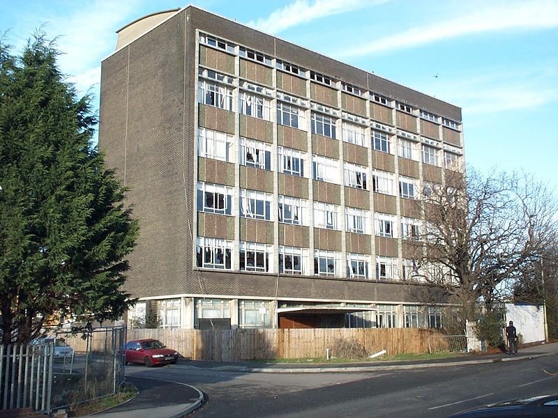
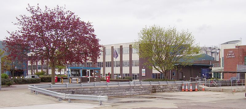
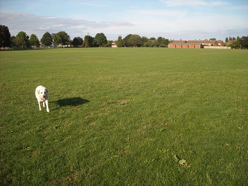
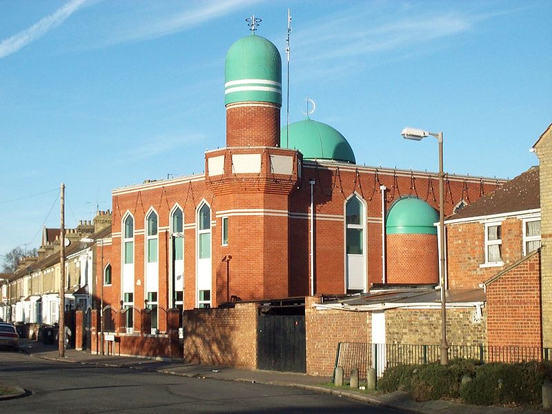
Queens Park is an electoral ward and area in Bedford, England. The area's borders are approximately Bromham Road and Beverley Crescent to the north, the Midland Main Line railway line to the east, and the River Great Ouse to the south. ()
Coordinates: 52°8'8"N, 0°29'7"W
Address
Bedford
ContactAdd
Social media
Add
Day trips
Queens Park – popular in the area (distance from the attraction)
Nearby attractions include: Bedford Esquires, Bedford Castle, Statue of John Bunyan, Borough Hall.
Frequently Asked Questions (FAQ)
Which popular attractions are close to Queens Park?
Nearby attractions include Greyfriars, Bedford (13 min walk), Borough Hall, Bedford (17 min walk), St Paul's Church, Bedford (20 min walk), Corn Exchange, Bedford (20 min walk).
How to get to Queens Park by public transport?
The nearest stations to Queens Park:
Train
Bus
Train
- Bedford (6 min walk)
- Bedford St Johns (22 min walk)
Bus
- Bus Station • Lines: 72, 73, 905, X5 (16 min walk)
- Bedford Bus Station (16 min walk)


