Plodda Falls, Fort Augustus

Gallery (1)
Map
Map
Facts and practical information
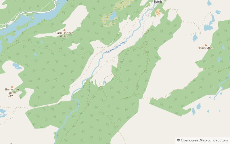
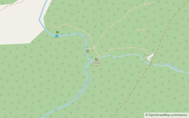
Plodda Falls is a waterfall, situated 5 km south-west of the village of Tomich, near Glen Affric, in the Highlands of Scotland. The falls are 46 m high, and are on the Allt na Bodachan, near where it flows into the Abhainn Deabhag, which in turn joins with the River Affric to form the River Glass. ()
Elevation: 548 ft a.s.l.Coordinates: 57°16'21"N, 4°51'34"W
Day trips