Eastham bridge

Gallery (1)
Map
Map
Facts and practical information
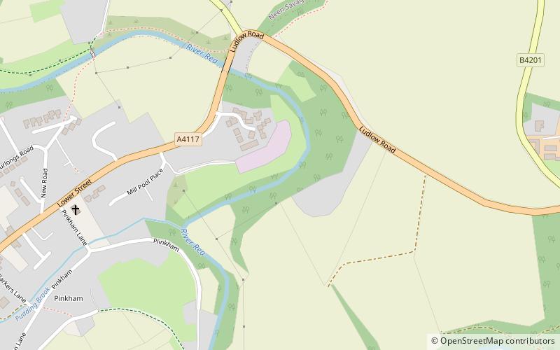
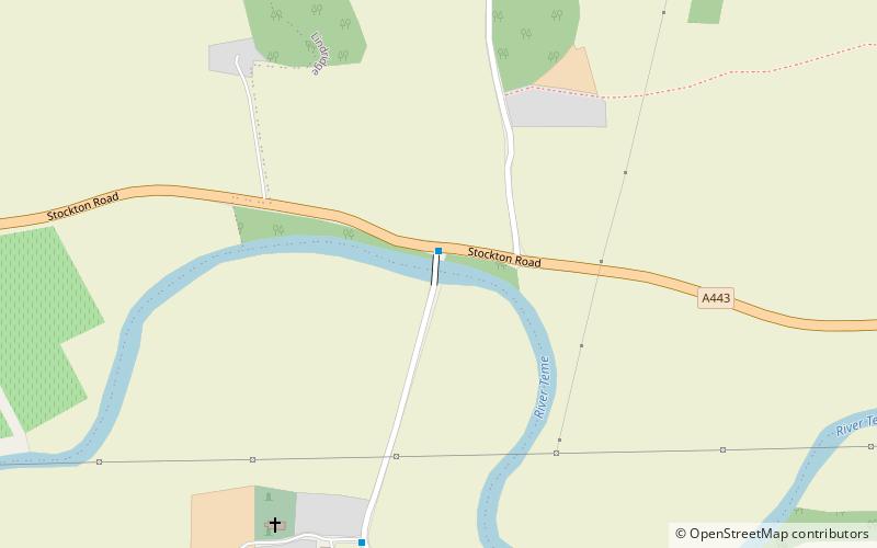
Eastham bridge was a Grade II listed bridge over the River Teme at Eastham, near Tenbury Wells, Worcestershire, England. Built as a toll bridge in 1793, tolls ceased to be charged in 1907, when the bridge was purchased by Worcestershire County Council. ()
Coordinates: 52°19'7"N, 2°30'5"W
Location
England
ContactAdd
Social media
Add
Day trips