Thorne Island, Thorne Island
Map

Map

Facts and practical information
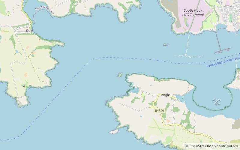
Thorne Island is a rocky islet and part of the community of Angle, Pembrokeshire, Wales, with an area of 2 acres, dominated by a coastal artillery fort built to defend the Milford Haven Waterway in the mid-19th century. It has been the site of a number of shipwrecks, including one in 1894 that was carrying a cargo of Scotch whisky. ()
Coordinates: 51°41'30"N, 5°7'4"W
Address
Thorne Island
ContactAdd
Social media
Add
Day trips
Thorne Island – popular in the area (distance from the attraction)
Nearby attractions include: Chapel Bay Fort, Stack Rock Fort, East and West Blockhouses, Angle Peninsula Coast.


