Swansea Valley

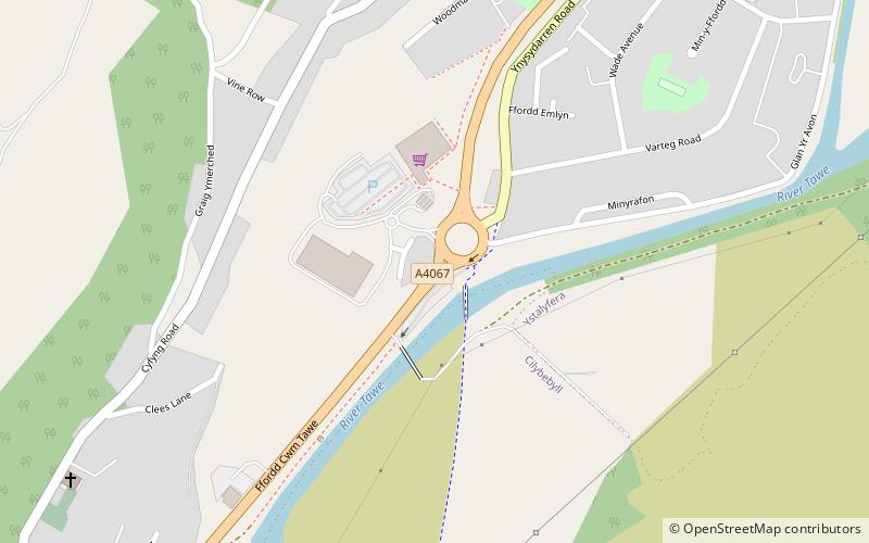
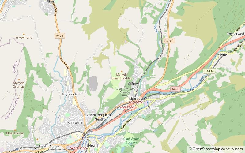
Map
Facts and practical information
The Swansea Valley is one of the South Wales Valleys. It is the valley from the Brecon Beacons National Park to the sea at Swansea of the River Tawe in Wales. Administration of the area is divided between the City and County of Swansea, Neath Port Talbot County Borough, and Powys. A distinction may be drawn between the Lower Swansea valley and the Upper Swansea valley; the former was more heavily industrialised during the 19th and 20th centuries. ()
Coordinates: 51°45'33"N, 3°47'23"W
Location
Wales
ContactAdd
Social media
Add
Day trips
Swansea Valley – popular in the area (distance from the attraction)
Nearby attractions include: Dan-yr-Ogof, Sgwd Henrhyd, Melincourt Falls, Cefn Coed Colliery Museum.


