Pontymoile Basin, Pontypool
Map

Map

Facts and practical information
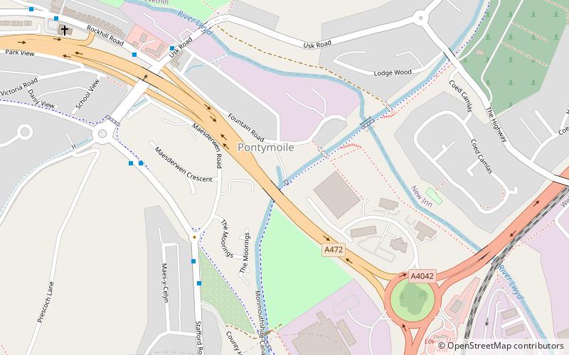
Pontymoile Basin is a mooring point and canal junction on the Monmouthshire & Brecon Canal. ()
Coordinates: 51°41'45"N, 3°1'33"W
Address
Pontypool
ContactAdd
Social media
Add
Day trips
Pontymoile Basin – popular in the area (distance from the attraction)
Nearby attractions include: Pontypool Park, Torfaen Museum, St Hilda's Church, Panteg cemetery.
Frequently Asked Questions (FAQ)
Which popular attractions are close to Pontymoile Basin?
Nearby attractions include Panteg cemetery, Pontypool (9 min walk), Pontypool Park, Pontypool (14 min walk), Torfaen Museum, Pontypool (21 min walk).


