Kilmarnock railway viaduct, Kilmarnock
Map

Map

Facts and practical information
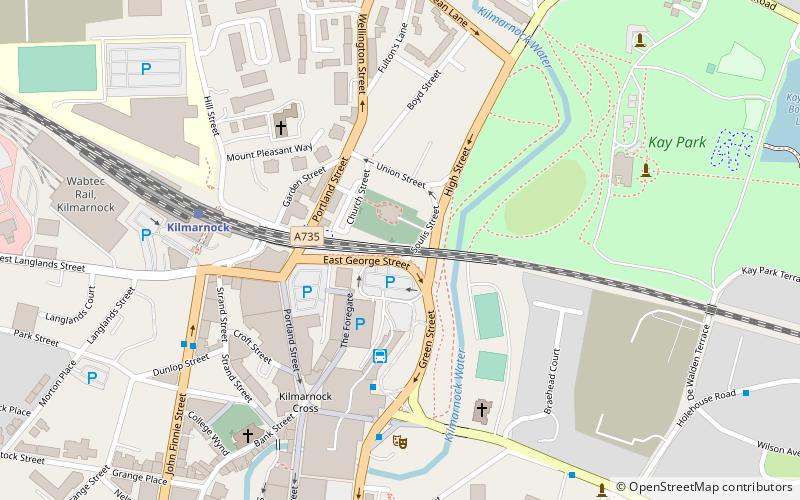
Kilmarnock railway viaduct, known locally as The Viaduct, is a railway viaduct crossing the town centre of Kilmarnock, and was constructed between 1843–1850. The bridge begins at Kilmarnock railway station and leads to destinations in England. It is a most distinctive feature of the town centre with 23 masonry arches and defines the northern boundary of the town centre. It was built in the 1840s to enable the Glasgow – Kilmarnock line to continue to Carlisle. ()
Coordinates: 55°36'43"N, 4°29'40"W
Address
Kilmarnock
ContactAdd
Social media
Add
Day trips
Kilmarnock railway viaduct – popular in the area (distance from the attraction)
Nearby attractions include: Dean Castle, Dick Institute, Palace Theatre, Burns Monument Centre.
Frequently Asked Questions (FAQ)
Which popular attractions are close to Kilmarnock railway viaduct?
Nearby attractions include King Street, Kilmarnock (4 min walk), Palace Theatre, Kilmarnock (5 min walk), George Hotel, Kilmarnock (5 min walk), Laigh Kirk, Kilmarnock (5 min walk).
How to get to Kilmarnock railway viaduct by public transport?
The nearest stations to Kilmarnock railway viaduct:
Bus
Train
Bus
- Kilmarnock Bus Station (3 min walk)
Train
- Kilmarnock (5 min walk)


