Kilvey Community Woodland, Swansea
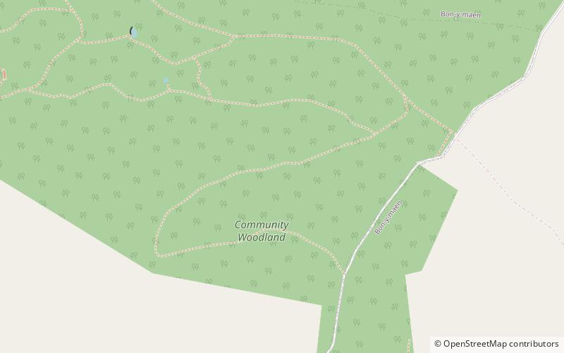
Map
Map

Facts and practical information
The Kilvey Community Woodland is a designated nature reserve located on the fringes of the city of Swansea, Wales. The area covers the slopes of Kilvey Hill and some of the flatter land to the northwest. ()
Elevation: 469 ft a.s.l.Coordinates: 51°37'59"N, 3°55'19"W
Address
Saint ThomasSwansea
ContactAdd
Social media
Add
Day trips
Kilvey Community Woodland – popular in the area (distance from the attraction)
Nearby attractions include: Liberty Stadium, Dylan Thomas Centre, Plantasia, Swansea Castle.
Frequently Asked Questions (FAQ)
Which popular attractions are close to Kilvey Community Woodland?
Nearby attractions include Kilvey Hill, Swansea (8 min walk), Hafod Copperworks, Swansea (17 min walk), Hafod, Swansea (20 min walk), Pluck Lake, Swansea (21 min walk).
How to get to Kilvey Community Woodland by public transport?
The nearest stations to Kilvey Community Woodland:
Bus
Train
Bus
- Village Tavern • Lines: 31, 32, 33 (11 min walk)
- Foxhole • Lines: 31, 32, 33 (12 min walk)
Train
- Swansea (24 min walk)


