King's Parade, Cambridge
Map
Gallery
Facts and practical information
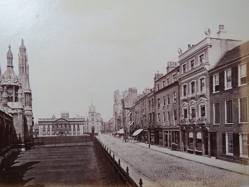
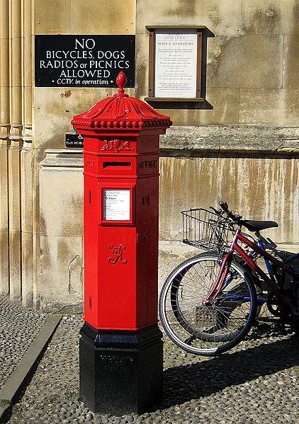
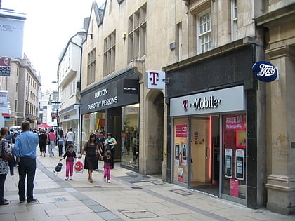
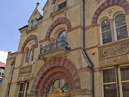
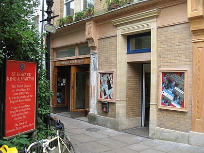
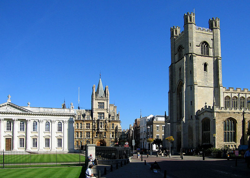
King's Parade is a street in central Cambridge, England. The street continues north as Trinity Street and then St John's Street, and south as Trumpington Street. It is a major tourist area in Cambridge, commanding a central position in the University of Cambridge area of the city. It is also a place frequented by many cyclists and by students travelling between lectures during term-time. ()
Coordinates: 52°12'19"N, 0°7'4"E
Day trips
King's Parade – popular in the area (distance from the attraction)
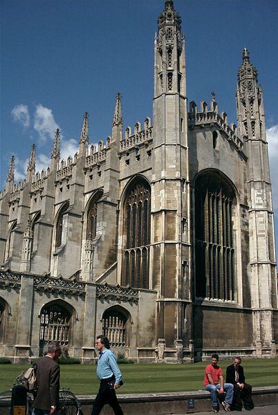
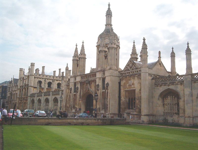
Nearby attractions include: Green Street, Petty Cury, King's College Chapel, Market Street.
Frequently Asked Questions (FAQ)
Which popular attractions are close to King's Parade?
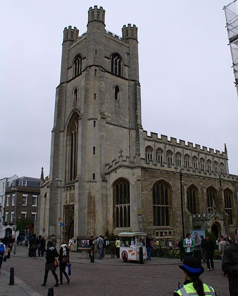
Nearby attractions include Church of St Mary the Great, Cambridge (1 min walk), Senate House, Cambridge (1 min walk), St Mary's Street, Cambridge (1 min walk), Clare College, Cambridge (2 min walk).
How to get to King's Parade by public transport?
The nearest stations to King's Parade:
Bus
Train
Bus
- Christ's College • Lines: 14, 3, Citi 1, Citi 2, Citi 5, Citi 6, Citi 8 (5 min walk)
- Corpus Christi Col • Lines: 199 (5 min walk)
Train
- Cambridge (29 min walk)


