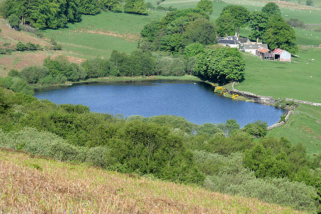
Lochspouts

Gallery (3)
Map
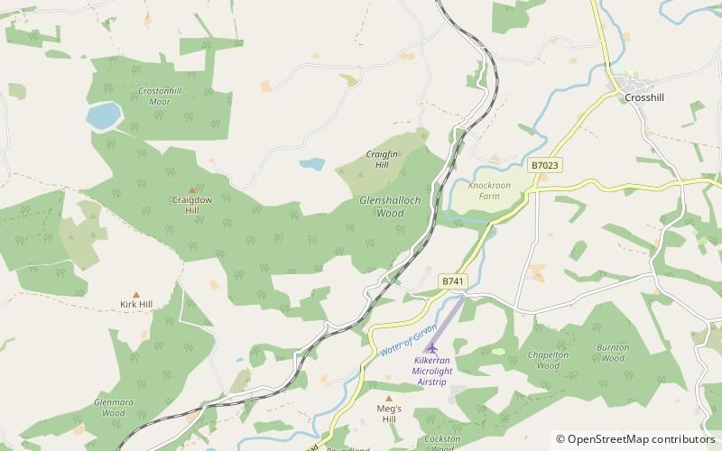
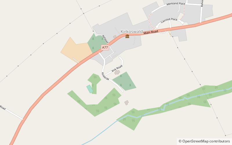
Map
Gallery
Facts and practical information
Lochspouts Loch or Lochspouts was situated in a hollow, surrounded by hilly ground on three sides and bounded by a narrow trap dyke to the north. The land was once held by the Ferguson family of Kilkerran and lies in the Parish of Kirkoswald, South Ayrshire, Scotland. The loch became a reservoir in the 19th century. ()
Length: 1312 ftWidth: 328 ftElevation: 505 ft a.s.l.Coordinates: 55°18'36"N, 4°41'24"W
Location
Scotland
ContactAdd
Social media
Add
Day trips