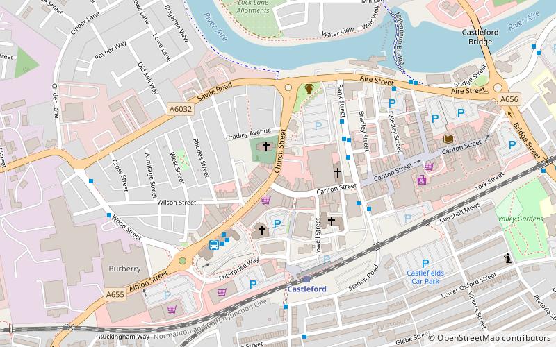
Lagentium, Castleford
Map

Map

Facts and practical information
Lagentium or Legiolum was the Roman name for the fort and surrounding civilian settlement which was built around the year 74 by the Roman Empire. The English town of Castleford, West Yorkshire, is now built on what was the fort. ()
Abandoned: 180 A.D.Coordinates: 53°43'34"N, 1°21'22"W
Address
Castleford CentralCastleford
ContactAdd
Social media
Add
Day trips
Lagentium – popular in the area (distance from the attraction)
Nearby attractions include: Tickle Cock Bridge, Trinity Methodist Church, The Jungle, Smawthorne Welfare Action Team.
Frequently Asked Questions (FAQ)
Which popular attractions are close to Lagentium?
Nearby attractions include Trinity Methodist Church, Castleford (3 min walk), Tickle Cock Bridge, Castleford (6 min walk), Smawthorne Welfare Action Team, Castleford (13 min walk), The Jungle, Castleford (18 min walk).


